
What is recorded here
Closed entrance, lost bench, forgotten stairs. A souterrain hides in Louth pasture, its mouth buried under grass and time. People built chambers beneath the slope, perhaps to store grain or escape storms. Forgetting killed the cave more surely than any hammer.
The following description is derived from both the published 'Archaeological Inventory of County Louth' (Dublin: Stationery Office, 1986) and the 'Archaeological Survey of County Louth' (Dublin: Stationery Office, 1991). In certain instances the entries have been revised and updated in the light of recent research.
Date of upload/revision: 17 July 2007
Souterrain situated on a slight slope in good pasture. Now inaccessible.
The monument record does not grant public access. Check the route and ask the landowner before entering private land.
- What survives
- Recorded monument
Places near here
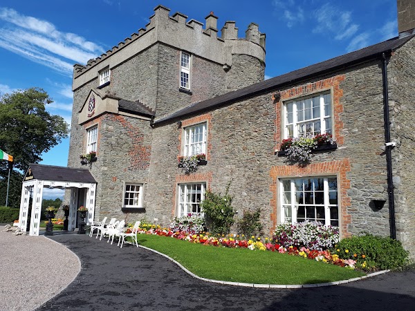 Darver CastleCastle · 60 yd
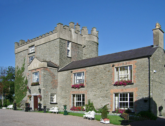 Bawn in DarverBawn · 93 yd
 IndicatedGatehouse · 113 yd
 Church (in ruins)Church · 119 yd
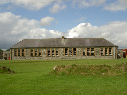 Darver National Schoolschool · 545 yd
 Enclosure in DarverEnclosure · 607 yd
 Rabbit BurrowWood · 1.9 mi
:no_upscale()/cdn.vox-cdn.com/uploads/chorus_asset/file/25593391/County_Louth_6th.jpg) LouthMountain / peak · 3.0 mi
LouthMountain / peak · 3.0 mi Long WoodForest · 3.2 mi
 Drummeenagh HillMountain / peak · 3.2 mi
 Graveyard in Richardstown (ardee By., Richardstown Par.)Graveyard · 5.0 mi
 Graveyard in StickillinGraveyard · 5.2 mi
Other information
Photo: Credit not shown in the picture search · Rights wording not checked; contact us if this picture should be removed