What is recorded here
Located in the N half of a of a rath (MA067-020001-). This Man-made underground passage, indicated as ‘Cave’ on the 1838 and 1920 OS 6-inch maps, is of dry stone construction and is roughly L-shaped in plan. A collapsed opening, located to N of centre in the rath interior, gives on to passage (L c. 8m; Wth 0.7m; H 1.2m) which extends to NNW, widening towards its N end. The walls of the passage incline gently inwards towards the top to support the roof of flat slabs. In the N wall of the passage there is a short creep (Wth c. 0.6m; H 0.9m) which opens into the S end of a small corbelled chamber (H c. 1.5m), which partly underlies the rath bank. The roof of the chamber is partly collapsed. Another passage extends to W from the chamber, coinciding with the inner edge of the rath bank, but this passage is collapsed and is evident as a grassed-over surface depression (L 11m E−W); according to local information, the stones were removed in the past to build nearby farm buildings.
Compiled by: Jane O'Shaughnessy
Date of upload: 24 July 2017
The monument record does not grant public access. Check the route and ask the landowner before entering private land.
- What survives
- Recorded monument
Places near here
 Site of Old ChapelChapel · 12 yd
 IndicatedFairy fort / earthen ringfort · 409 yd
 Raigh Lodgefarm house · 1588 yd
 Knockloughra National Schoolschool · 1600 yd
 Beetle Island NorthIslet · 1608 yd
 InishilraIslet · 1.2 mi
 Killeen CemeteryVisitor information · 1.3 mi
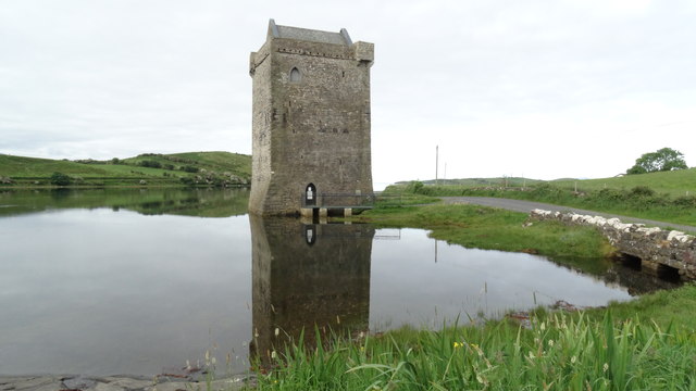 Bawn in RockfleetBawn · 1.5 mi
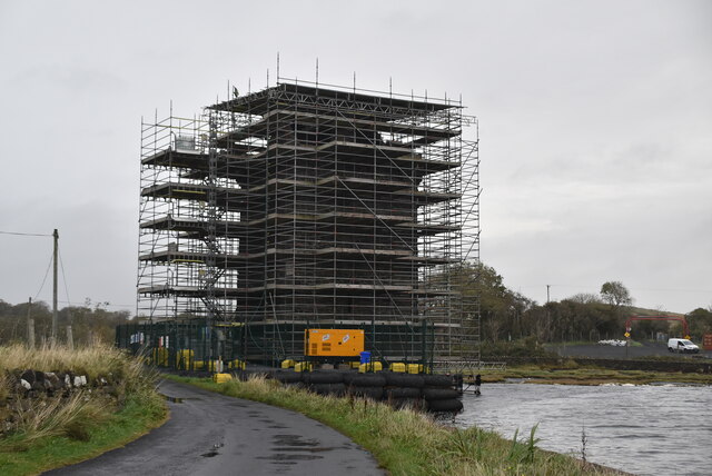 Rockfleet Castle in RuinsCastle, tower house · 1.5 mi
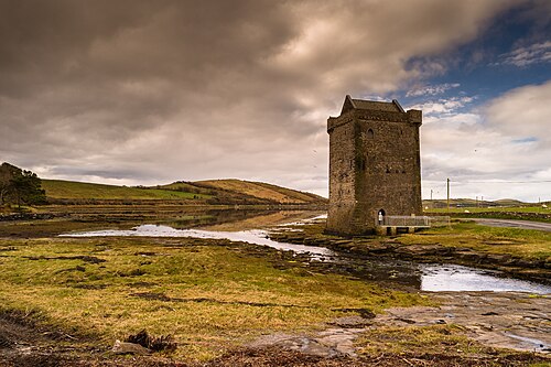 Rockfleet CastleCastle · 1.5 mi
 Rossanrubble PointHeadland · 3.3 mi
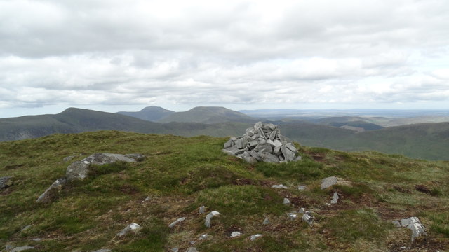 BengormMountain / peak · 3.9 mi