What is recorded here
The following description is derived from both the published 'Archaeological Inventory of County Louth' (Dublin: Stationery Office, 1986) and the 'Archaeological Survey of County Louth' (Dublin: Stationery Office, 1991). In certain instances the entries have been revised and updated in the light of recent research.
Date of upload/revision: 17 July 2007
Marked 'cave' on 1835 ed. of OS 6-inch map. Now inaccessible.
The monument record does not grant public access. Check the route and ask the landowner before entering private land.
- What survives
- Recorded monument
Places near here
 Enclosure in PepperstownEnclosure · 471 yd
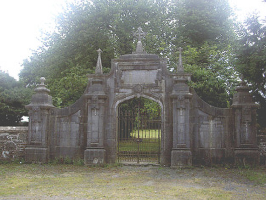 gates/railings/wallsgates/railings/walls · 911 yd
 Holy well in CharlestownHoly well · 949 yd
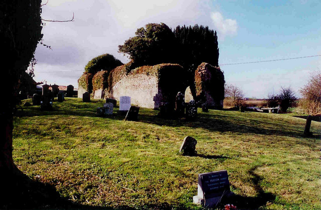 Church in ruinsChurch · 974 yd
 Long PlantationForest · 1.0 mi
 Site of Mullanstown CastleCastle, unclassified · 1.3 mi
 Site of Cookstown CastleCastle, unclassified · 1.4 mi
 English hollyEnglish holly · 1.6 mi
 Sir Frederick Foster MemorialMemorial · 2.2 mi
 Graveyard in StickillinGraveyard · 3.1 mi
:no_upscale()/cdn.vox-cdn.com/uploads/chorus_asset/file/25593391/County_Louth_6th.jpg) LouthMountain / peak · 3.9 mi
LouthMountain / peak · 3.9 mi Mount OrielMountain / peak · 7.1 mi