What is recorded here
Cave is a man-made underground passage in Lisdrumneill, County Roscommon, Ireland. It appears on 1837 and 1914 Ordnance Survey maps, sometimes inside and sometimes southwest of the rath. The passage is not visible at ground level, and no description of it has survived.
Marked on 1837 and 1914 eds of the OS 6-inch map where it is described as a 'Cave', and situated within the interior of rath (RO014-048001-) (1837) or outside it to the SW (OS 25-inch map). It is not visible at ground level, and there is no recorded description of it.
Compiled by: Michael Moore
Date of upload: 24 August 2010
The monument record does not grant public access. Check the route and ask the landowner before entering private land.
- What survives
- Recorded monument
Places near here
 LisdrumneillArchaeological place · 365 yd
 Embanked enclosureFairy fort / earthen ringfort · 692 yd
 Fairymount HillMountain / peak · 983 yd
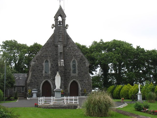 Catholic Church of the Sacred Heartchurch/chapel · 1.0 mi
 Penitential station in Stonepark (frenchpark By., Fairymount Ed)Penitential station · 1.3 mi
 Druminagh WoodForest · 1.9 mi
 Frenchpark Ho.Castle, unclassified · 3.4 mi
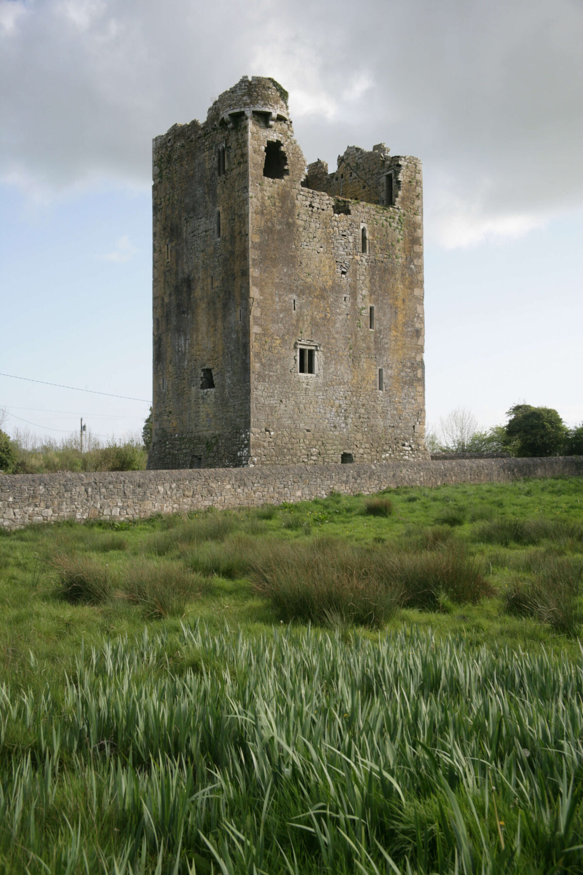
 TowerCastle, tower house · 3.6 mi
 Square WoodForest · 4.1 mi
 Bawn IslandIslet · 4.7 mi
 Clonalis HouseMuseum · 5.0 mi
 Silver IslandIslet · 6.0 mi