
What is recorded here
One quarter of an acre of flat green marsh holds the whole story. The cave lies buried inside the western half of a ringfort, hidden beneath grass and memory while the finished chamber waits for someone eager enough to dig. Coleman reached that depth in 1942 and found ordinary life preserved without warning: charcoal, bone, bronze, fish shells and the remains of kept and hunted animals. The cave does not need grandeur because it records hands, hunger, heat and return.
In W half of ringfort (CO041-01201-). Shown on 1938 OS 6-inch map as 'cave'. No visible surface trace.
The above description is derived from the published 'Archaeological Inventory of County Cork. Volume 4: North Cork' (Dublin: Stationery Office, 2000). In certain instances the entries have been revised and updated in the light of recent research.
Date of upload/revision: 14 January 2009
The monument record does not grant public access. Check the route and ask the landowner before entering private land.
- What survives
- Recorded monument
Places near here
 CaveMan-made underground passage · 236 yd
 LissaleaFairy fort / earthen ringfort · 502 yd
 Saint Abigail's Wellholy well · 1.1 mi
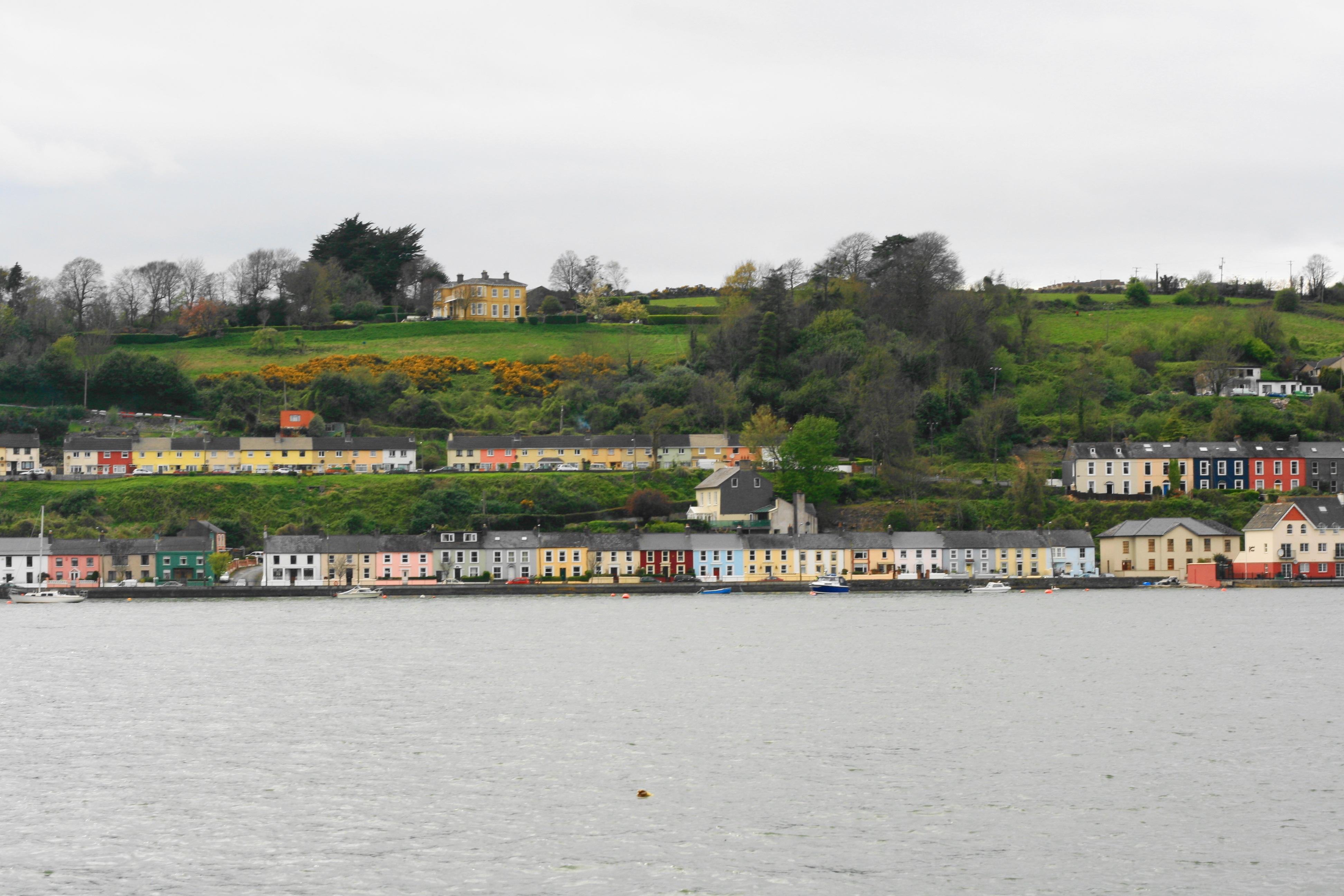 Church in Ballynoe (duhallow By., Kilshannig Par.)Church · 1.3 mi
 Bweeng LittleMountain / peak · 1.3 mi
 Mount HillaryMountain / peak · 2.7 mi
 Gurteenkreen Castle (Site of)Castle, unclassified · 3.2 mi
 Mount Hillary - Mount Hillary LoopWalking route · 3.4 mi
 Mount Hillary - Knightfield LoopWalking route · 3.5 mi
 Dromaneen CastleHeritage attraction · 3.9 mi
 CastleCastle, unclassified · 4.8 mi
 St Fursey's WellSpring · 5.0 mi
Other information
Photo: Credit not shown in the picture search · Rights wording not checked; contact us if this picture should be removed