
Places near here
Photo credits
- Mike Searle, Wikimedia Commons · CC BY-SA 2.0
- National Inventory of Architectural Heritage
- Ballinrobe GAA Club; individual photographer not stated, www.ballinrobegaaclub.com
- Brendan Moran / Sportsfile, www.sportsfile.com
- Steve & Jemma Copley on Flickr, Wikimedia Commons · CC BY-SA 2.0
- Yosemite, Wikimedia Commons · CC BY-SA 3.0
 Loughmask CastleCastle · 695 yd
Explorer Tom Loughmask Castle has a secret talent for looking incredibly dramatic in bad weather, which it uses as an excuse not to…
 Loughmask Castle in ruinsCastle, tower house · 699 yd
Explorer Tom Loughmask Castle smells like old money and damp stone, according to Tom’s sensitive nose. It had gargoyles in 1480…
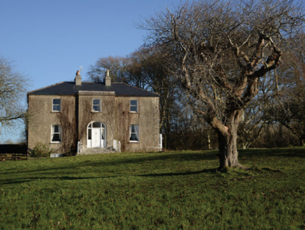 Loughmask HouseHouse · 761 yd
Explorer Tom Loughmask House has a ghost that’s too lazy to haunt the place, preferring to nap in the sunbeams instead. It was built…
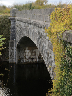 Carrownagower BridgeBridge · 1.1 mi
Explorer Tom Carrownagower Bridge gave up sugar for Lent, not its stone arches. The County built it to look elegant, which is…
 sluice/sluice gate1.3 mi
Explorer Tom Sluice in Caherloughlin is known as The Regulator because it controls water flow, but locals claim a specific farmer…
 mill (water)1.5 mi
Explorer Tom Mill in Rahard runs on very strict rules: keep your voice down or the water will hear you complaining. It’s been…
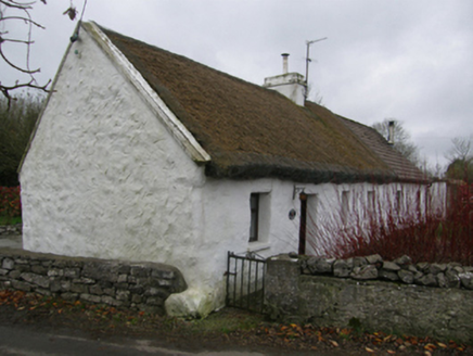 White O'MornFarm house · 1.6 mi
Explorer Tom White O'Morn in Castletown is doing its best impression of a stone fortress that’s actually just very shy. It’s got…
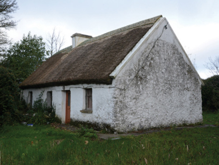 farm house1.6 mi
Explorer Tom Farm house in Castletown [kilm. by. B.chal. Ph.] in Castletown [Kilm. By. B.Chal. Ph.], County Mayo would bring a wheel…
 Flanagan Park, Ballinrobe GAAGAA ground · 3.5 mi
 Páirc Naomh Feichin, Cunga, The Neale GAAGAA ground · 3.6 mi
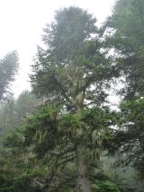 Silver Fir3.7 mi
Explorer Tom Silver Fir in County Galway is standing there acting like it invented the concept of looking mysterious. Apparently, if…
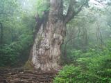 Japanese cedar3.8 mi
Explorer Tom Japanese cedar in County Galway is a tree that would tell its younger self to stop worrying about the wind. It’s tall…
More archaeology and monuments in County Mayo · All of County Mayo

What do you know about this place?Tap to add a comment or ask a question