
What is recorded here
From the National Monuments Service (Archaeological Survey of Ireland) record MA049-020002
Places near here
Photo credits
- National Inventory of Architectural Heritage
- Pamela Norrington, Geograph · CC BY-SA 2.0
- Didier Descouens, Wikimedia Commons · CC BY-SA 4.0
- Kenneth Allen, Wikimedia Commons · CC BY-SA 2.0
- Pamela Norrington, Geograph · Creative Commons Attribution-ShareAlike 2.0
- Newbert12, Wikimedia Commons · CC BY-SA 4.0
- Richard Webb, Geograph · CC BY-SA 2.0
- Alan Reid, Geograph · CC BY-SA 2.0
- Shanehahaha, Wikimedia Commons · CC BY-SA 3.0
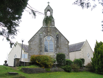 All Saints' Catholic ChurchChurch/chapel · 2.5 mi
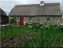 Hennigan's Heritage CentreHeritage attraction · 2.8 mi
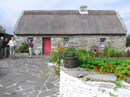 farm house2.8 mi
Explorer Tom Farm house in Rubble has a Turkish reed roof that looks absolutely ridiculous against the local stone. A goat ruled this place for a decade before anyone noticed. Sit on a wall near it and preten
 Hawthorn3.0 mi
Explorer Tom Hawthorn witnessed a love story that went badly wrong next to it, involving a lot of crying and one very torn jacket. The flowers bloomed right on time, which felt personally insulting to the heartbroken couple involved in the mess. If anyone asks, Tom sent you.
KnockasliggaunMountain / peak · 5.0 mi Admiral William BrownMemorial · 5.5 mi
 Grave YardGraveyard · 5.7 mi
Explorer Tom Graveyard in Toomore would order extra vinegar on its chips because it likes things sharp and memorable. It recently got a new shrine, which is basically a fancy hat for the entrance. If it's closed, admire it from the road like a polite stalker.
 IndicatedWedge tomb · 5.7 mi
 Lough Talt TrailVisitor information · 6.2 mi
 Largan HillMountain / peak · 6.6 mi
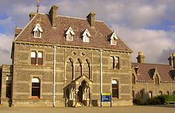 National Museum of Ireland, Country LifeMuseum · 13 mi
More archaeology and monuments in County Mayo · All of County Mayo

What do you know about this place?Tap to add a comment or ask a question