What is recorded here
Marked as two adjacent `Caves' on the 1837 ed. of the OS 6-inch map in a field known locally as `Cave Field', and situated in a hollow in an undulating landscape. No feature is visible at ground level. Church (RO016-097001-) is c. 70m to the SE and the holy well (RO016-096001-) is c. 50m to the NW.
Compiled by: Michael Moore
Date of upload: 24 August 2010
The monument record does not grant public access. Check the route and ask the landowner before entering private land.
- What survives
- Recorded monument
Places near here
 Church (in Ruins)Church · 63 yd
 Church WellHoly well · 89 yd
 TobernaveanHoly well · 1152 yd
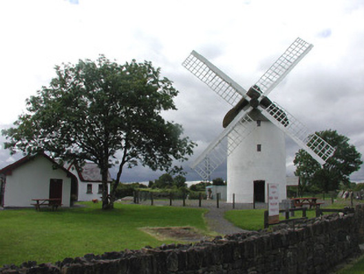 mill (wind)mill (wind) · 1399 yd
 War of Independence Commemorative Military MemorialMemorial · 1.2 mi
 Castle (Site of)Castle, unclassified · 3.4 mi
 Coolnahinch WoodWood · 4.8 mi
 Church WoodWood · 5.1 mi
 GortnacushlaunCastle, unclassified · 6.5 mi
 Bawn IslandIslet · 9.6 mi
 Patrick Gill Memorial Plaque (IRA)Monument · 9.9 mi
 Rose PointHeadland · 10 mi