What is recorded here
Within the W sector of the interior of a rath (GA114-100001-). This inaccessible Man-made underground passage appears to be L-shaped (L >11.6m) in plan from the visible evidence. The long axis (L 6.4m) runs NNW-SSE and is almost completely collapsed. On roof lintel is visible at its N end. The short axis (L 5.2m; Wth 0.9m) extends from S end of W side-wall and runs ENE-WSW. Three roof lintels protrude from the sod along this section. A standing stone (GA114-100003-) is visible in the E sector.
Compiled by: Galway Archaeological Survey, UCG
Date of upload: 5 January 2018
The monument record does not grant public access. Check the route and ask the landowner before entering private land.
- What survives
- Recorded monument
Places near here
 Enclosure in LissadultaEnclosure · 1186 yd
 Castle Dalyhouse · 1259 yd
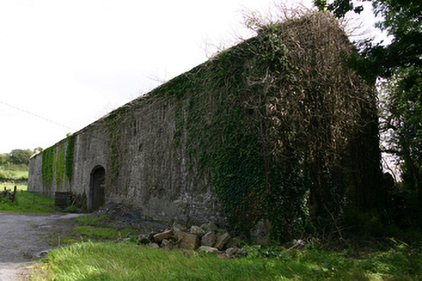 Cappard Houseoutbuilding · 1375 yd
 Enclosure in NewtownblakeEnclosure · 1583 yd
 Castle (in ruins)Castle, Anglo-Norman masonry castle · 1.8 mi
 Rahaly Castle (in ruins)Castle, tower house · 1.9 mi
 KnockapollboyMountain / peak · 3.1 mi
 European ashEuropean ash · 3.5 mi
 HawthornHawthorn · 3.5 mi
 Scalpeen RockNamed rock · 4.1 mi
 KnocknarebanaMountain / peak · 4.5 mi
 Derrybrien Bog SlideHeritage attraction · 5.5 mi