
What is recorded here
Situated on top of a high esker ridge running in an E/W direction. Circular area (N/S diam. 39m; E/W diam. 36m) enclosed by a low wide earth and stone bank(Wth 2m) and possible outer berm with no evidence of an outer fosse. Ramped entrance (Wth 3m) at E. Large L-shaped Man-made underground passage (OF006-026002-) consisting of three chamber is located in the centre of the ringfort which was described and planned in 1860-61 (Foot 1860-61, 222-9; English 1972, 249).
The above description is derived from the published 'Archaeological Inventory of County Offaly' (Dublin: Stationery Office, 1997). In certain instances the entries have been revised and updated in the light of recent research.
Date of upload: 23 May 2011
A local fairy fort (ringfort/rath); wider significance not recorded.
The monument record does not grant public access. Check the route and ask the landowner before entering private land.
- What survives
- Recorded monument
Places near here
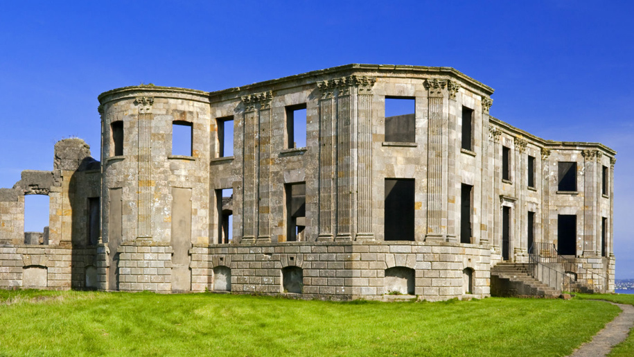 Enclosure in Doon DemesneEnclosure · 296 yd
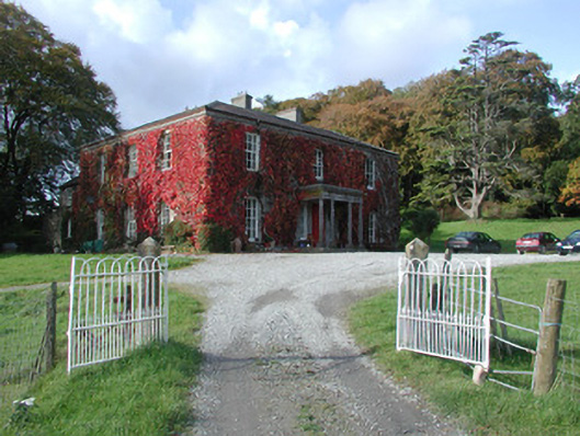 The Dooncountry house · 488 yd
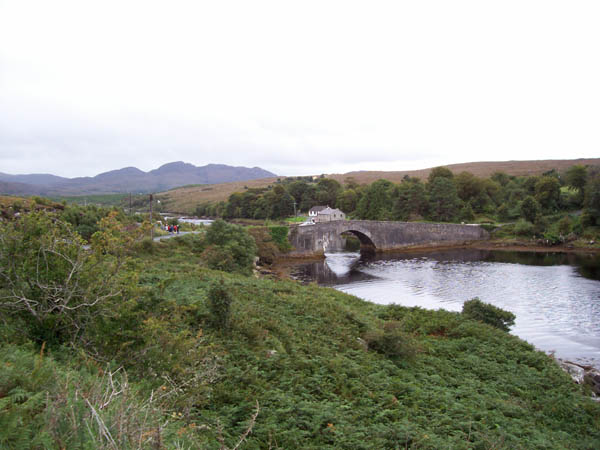 IndicatedFairy fort / earthen ringfort · 785 yd
 Esker CastleCastle, tower house · 1043 yd
 Bawn in Lackagh MoreBawn · 1169 yd
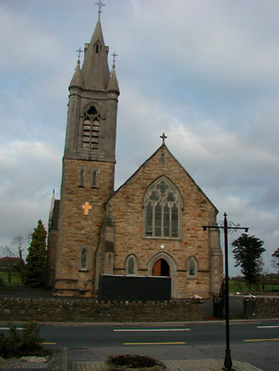 Saint Colmcille's Catholic Churchchurch/chapel · 1673 yd
 European ashEuropean ash · 1.4 mi
 Endrim HillMountain / peak · 2.7 mi
 Ballylin Bog BoardwalkHeritage attraction · 4.1 mi
 Long IslandIsland · 4.2 mi
 Saint Reaghan's WellSpring · 4.7 mi
 Wren's IslandIslet · 5.9 mi
Other information
Photo: Credit not shown in the picture search · Rights wording not checked; contact us if this picture should be removed