What is recorded here
In the W half of the interior of a rath (SL037-002001-). Two parallel rectangular stone-built corbelled chambers are linked by creepway with a possible third chamber to E. Chamber 1 (L 5.5m E-W; Wth 2.2m; H c. 2m) has a collapsed entrance at W and a creepway (Wth 0.6m; L 1.2m) at the E end of the N wall which leads to chamber 2 (L 5.5m E-W; Wth 2.5m; H c. 2m). A stone step along the E wall gives access to a collapsed creepway (Wth c. 0.6m; L 1.6m) which leads to a possible third chamber, now inaccessible, and only visible as a surface depression.
The above description is derived from the published 'Archaeological Inventory of County Sligo' compiled by Ursula Egan, Elizabeth Byrne, Mary Sleeman with Sheila Ronan and Connie Murphy (Dublin Stationery Office, 2005).
Date of upload: 18 January 2008
The monument record does not grant public access. Check the route and ask the landowner before entering private land.
- What survives
- Recorded monument
Places near here
 Castle Carragh in RuinsCastle, unclassified · 875 yd
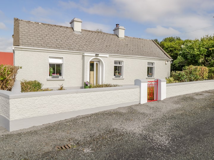 Dermot & Grania's BedArchaeological place · 1007 yd
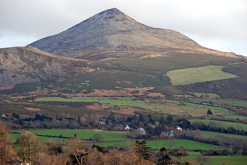 ToberaraghtHoly well · 1.0 mi
 Carrick WoodWood · 1.8 mi
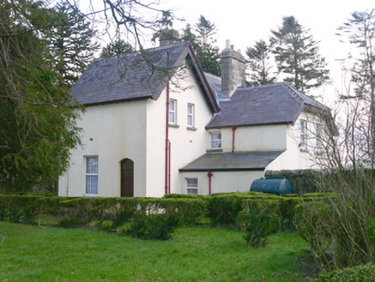 Shooting Lodgehunting/fishing lodge · 2.3 mi
 Saint Attracta's Catholic Churchchurch/chapel · 2.3 mi
 Lough Talt TrailVisitor information · 2.4 mi
 New WoodWood · 2.4 mi
 Mass RockNamed rock · 2.7 mi
 Castle (Site of)Castle, unclassified · 3.2 mi
 Largan HillMountain / peak · 3.5 mi
 KnockasliggaunMountain / peak · 3.8 mi