What is recorded here
Half a kilometre from the last house, a collapsed cave still breathes beneath the grass. The fort never needed a wall because the earth itself leaned in, and people trusted that lean. Farm lanes cut across it now, yet the ridge remembers the shape of hands that first pressed it into being.
Cave Fort is recorded as a archaeological place in County Meath. Its open map record supplies this location and any linked names or public references.
Places near here
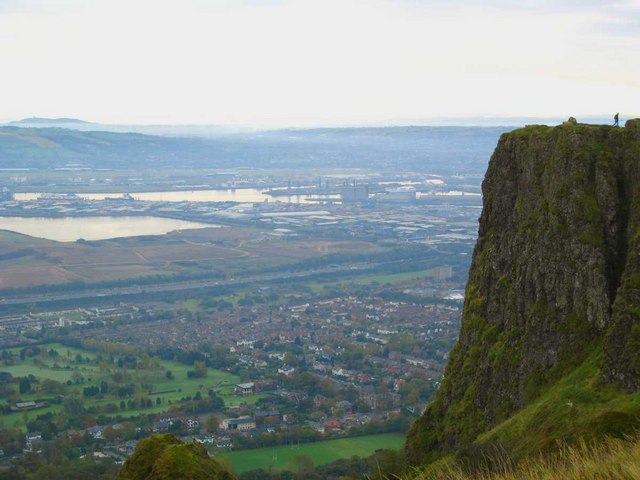 Cave FortFairy fort / earthen ringfort · 5 yd
 Church (in Ruins)Church · 1098 yd
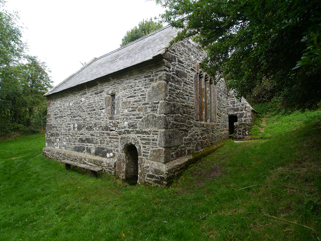 Holy WellHoly well · 1273 yd
 CastleCastle, unclassified · 1697 yd
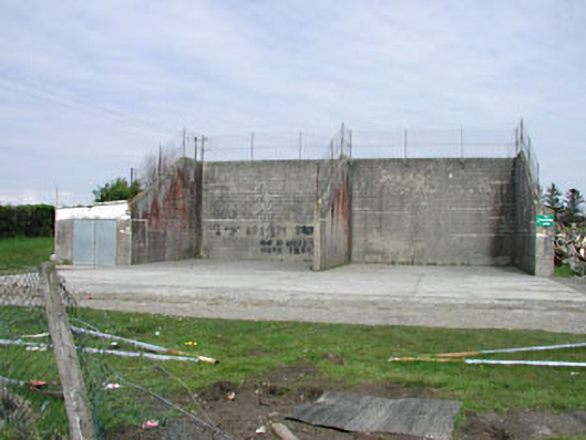 Saint Oliver Post Primary Schoolhandball alley · 1.1 mi
 Fennor LowerMountain / peak · 1.1 mi
 Mount FortuneMountain / peak · 1.3 mi
 Memorial CrossMemorial · 1.4 mi
 European BeechEuropean Beech · 1.8 mi
 The MoatCastle, motte and bailey · 2.1 mi
 C11Named rock · 3.3 mi
 LoughcrewMegalithic tomb cemetery · 3.6 mi