What is recorded here
In rock outcrop within the ecclesiastical enclosure (RO010-040003-) around church site (RO010-040001-) and c. 30m SE of the SE corner of the graveyard (RO010-040002-). The entrance (Wth 0.7m; H 0.75m) in a rock face leads to a rock-cut passage (Wth 1.15m; H 1.15m; L 5m) roofed with limestone slabs which runs N until it is blocked at a point where it turns NW.
Compiled by: Michael Moore
Date of upload: 24 August 2010
The monument record does not grant public access. Check the route and ask the landowner before entering private land.
- What survives
- Recorded monument
Places near here
 IndicatedGraveyard · 71 yd
 TobernooneHoly well · 150 yd
 Moylung Castle (in ruins)Castle, unclassified · 863 yd
 R. C. ChapelChurch · 1118 yd
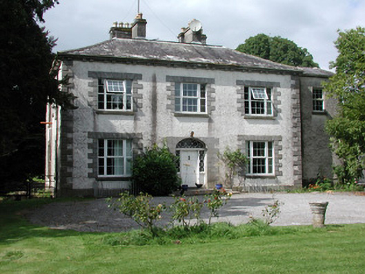 Moylurg Housecountry house · 1157 yd
 Castle (Site of)Castle, unclassified · 2.9 mi
 Lough Key Forest ParkWood · 3.1 mi
 Longford HillMountain / peak · 3.3 mi
 Horse-chestnutHorse-chestnut · 3.4 mi
 Western RedcedarWestern Redcedar · 3.5 mi
 Erris BayBay · 3.5 mi
 Castle IslandIslet · 3.7 mi