What is recorded here
Two caves are marked close together on the 1840 ed. of the OS 6-inch map, situated c. 50m from the SW bank of the NW-SE River Douglas, and adjacent to a parallel mill-race. Smith (1746, 329-30) descibes finding a human scull in one of these caves called Uaimh na mort - the cave of the dead. Smith, C. (1746) The history of the town and county of Waterford. W. Wilson. Dublin.
From the National Monuments Service (Archaeological Survey of Ireland) record WA030-084
The monument record does not grant public access. Check the route and ask the landowner before entering private land.
- What survives
- Recorded monument
Places near here
Photo credits
- National Inventory of Architectural Heritage
- BrendanLacey72, Wikimedia Commons · CC BY-SA 4.0
- Colin Park, Geograph · CC BY-SA 2.0
- Slamforeman, Wikimedia Commons · CC BY 4.0
- Oliver Dixon, Geograph · CC BY-SA 2.0
- Audrius Janecka, Wikimedia Commons · CC BY-SA 4.0
- TheLizardQueen, Wikimedia Commons · CC BY 2.0
- Hywel Williams, Geograph · Creative Commons Attribution-ShareAlike 2.0
Fulacht FiaidhBurnt mound · 734 ydEnclosure in Ballynacourty (decies Without Drum By., Whitechurch Par.)Enclosure · 909 yd Cappagh HouseGate lodge · 1223 ydCappagh HouseGates/railings/walls · 1231 ydMaster McGrathMemorial · 2.0 miGrattan SquareVisitor information · 4.5 miWaterford County MuseumMuseum · 4.6 miDungarvan Castle (in Ruins)Castle, Anglo-Norman masonry castle · 4.7 miDungarvan CastleCastle · 4.7 miBattle of AffaneMajor battlefield · 5.0 miCunnigar PointHeadland · 5.0 miSaint Declan's Holy WellSpring · 5.4 mi
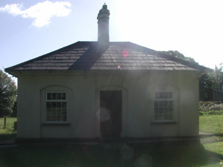 Cappagh HouseGate lodge · 1223 yd
 Cappagh HouseGates/railings/walls · 1231 yd
 Master McGrathMemorial · 2.0 mi
 Grattan SquareVisitor information · 4.5 mi
 Waterford County MuseumMuseum · 4.6 mi
 Dungarvan Castle (in Ruins)Castle, Anglo-Norman masonry castle · 4.7 mi
 Dungarvan CastleCastle · 4.7 mi
 Battle of AffaneMajor battlefield · 5.0 mi
 Cunnigar PointHeadland · 5.0 mi
 Saint Declan's Holy WellSpring · 5.4 mi
More caves in County Waterford · All of County Waterford
What do you know about this place?