What is recorded here
Situated in gently undulating pasture. On the 1838 OS 6-inch map, this Man-made underground passage, marked as ‘Cave’, is shown as a small oblong feature located within the centre of a circular ring (diam. c. 25m) of trees, which are, in turn, enclosed within a square field (c. 30m N–S; c. 30m E–W). It is indicated as 'Cave (Site of)' on the 1913 edition. No trace of a Man-made underground passage now visible. The Man-made underground passage may have been located within a ringfort (SL011-042002-).
Compiled by: Mark Keegan
Date of upload: 19 January 2011
The monument record does not grant public access. Check the route and ask the landowner before entering private land.
- What survives
- Recorded monument
Places near here
 IndicatedFairy fort / ringfort · 597 yd
 Enclosure in Killeenduff (tireragh By.)Enclosure · 733 yd
 Split RockNamed rock · 1176 yd
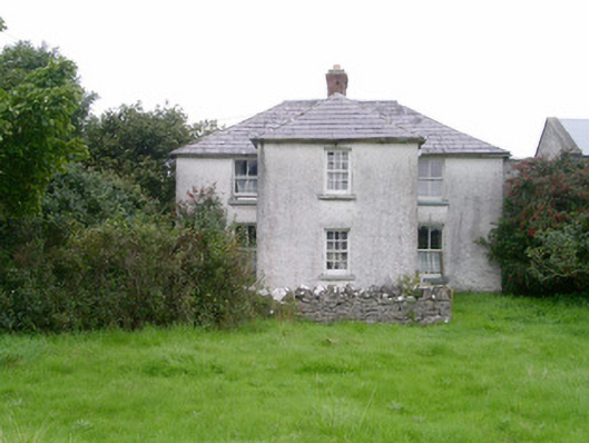 Rosleahouse · 1248 yd
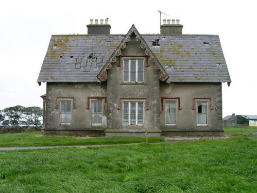 Templeviewhouse · 1254 yd
 CastleCastle, motte · 1634 yd
 Jim Smith MemorialMemorial · 1.4 mi
 Wild Atlantic Way: Easky PierVisitor information · 1.5 mi
 Cooanmore PointHeadland · 1.6 mi
 Bawn in CastletownBawn · 1.6 mi
 Wild Atlantic Way: Inishcrone PierVisitor information · 7.2 mi
 Grave of the Black PigArchaeological place · 7.8 mi