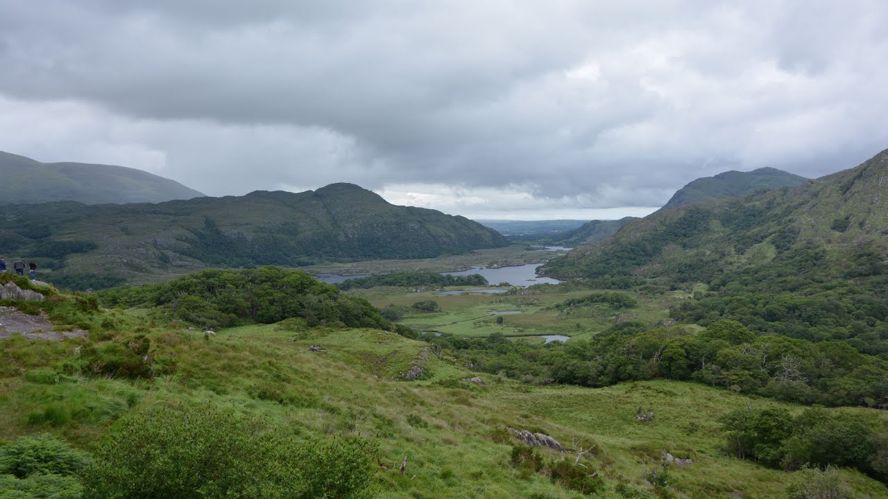
What is recorded here
Clear water severed the shadow of a tall man, proving the chamber extended beyond its visible wall. The candidate followed that vanished line into darkness, emerging behind a standing stone to confront the owner of the estate. They did not kill him. They took his name, his gold and his claim, then gave the chamber back to the mountain.
The gently sloping interior of the rath is featureless except for two small stone-filled depressions. These occur close to the centre of the site and represent collapsed portions of a NE-SW aligned Man-made underground passage passage (KE082-014001-) (local information).
The above description is derived from A. O'Sullivan and J. Sheehan (compilers), 'The Iveragh peninsula: an archaeological survey of South Kerry'. Cork University Press (1996), no. 486. In certain instances the entries have been revised and updated in the light of recent research.
Date of upload: 28 July 2013
The monument record does not grant public access. Check the route and ask the landowner before entering private land.
- What survives
- Recorded monument
Places near here
 Parknahooan CaveMan-made underground passage · 332 yd
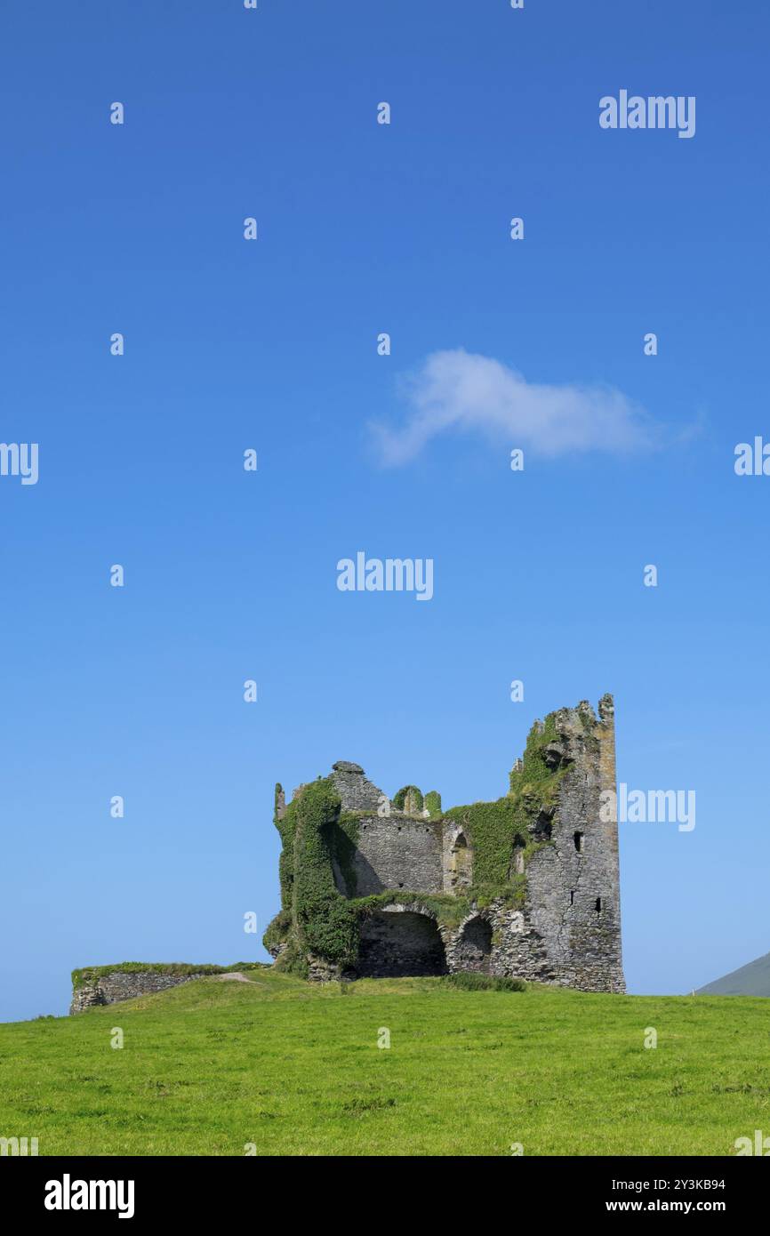 Mullaghaliss FortFairy fort / earthen ringfort · 431 yd
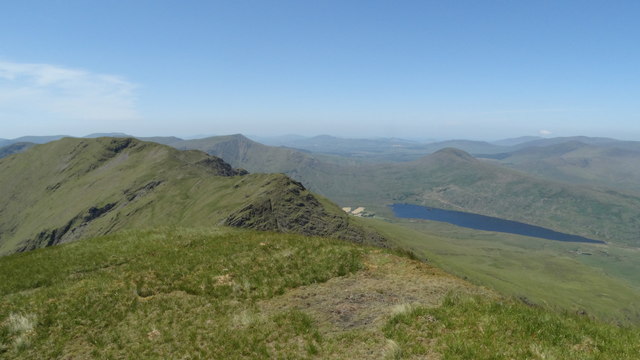 Beann NE TopMountain / peak · 1.6 mi
 MullaghanattinMountain / peak · 1.9 mi
 Ballaghbeama GapViewpoint · 2.5 mi
 Blackstones Bridgebridge · 4.4 mi
 CarrauntoohilMountain / peak · 6.2 mi
 RoadRoad, road/trackway · 6.3 mi
 Devil's Ladder RouteWalking route · 7.4 mi
 De Gaulle MemorialMonument · 8.0 mi
 Crash site of USAAF DakotaHeritage attraction · 8.0 mi
 Sneem Commemoration PlaqueMemorial · 8.0 mi
Other information
Photo: Credit not shown in the picture search · Rights wording not checked; contact us if this picture should be removed