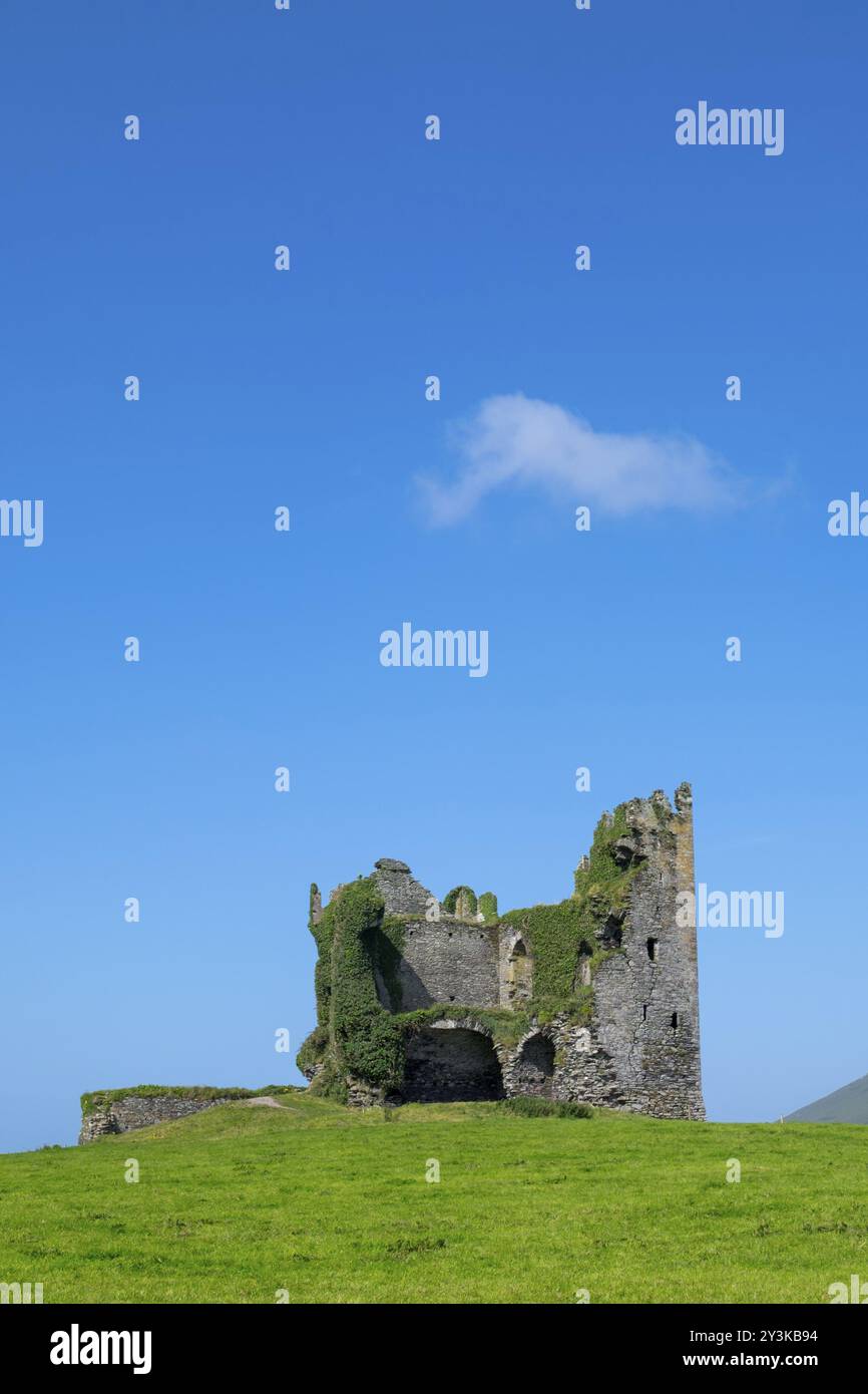
What is recorded here
Internal diam. 32.5m N-S, 37m E-W
Mullaghaliss Fort / Mullach an Leasa (?): This bivallate rath is located on top of a rise at the mouth of the Cloon valley. 'Lisheenhear' (KE082-014---) and a second univallate rath (KE082-015----) are located c. 300m to SW, on the opposite bank of the Owenroe river. The subcircular site is bisected by a modern field boundary, running NE-SW, and is best preserved to E of this. At NE the outer bank, which is largely composed of loosely piled stone, survives up to 1m high above external ground level and measures 1.65m in basal width. It falls 1.7m to a flat-bottomed fosse, .8m wide at base. The inner bank rises to a maximum of 2.7m high above this and measures 2.3m in basal width. Largely of earthen composition, it falls .7m to the interior. Elsewhere the enclosing elements do not survive to any considerable height. The interior of the site is heavily overgrown and is apparently featureless.
The above description is derived from A. O'Sullivan and J. Sheehan (compilers), 'The Iveragh peninsula: an archaeological survey of South Kerry'. Cork University Press (1996), no. 476. In certain instances the entries have been revised and updated in the light of recent research.
Date of upload: 28 July 2013
A local fairy fort (ringfort/rath); wider significance not recorded.
The monument record does not grant public access. Check the route and ask the landowner before entering private land.
- What survives
- Recorded monument
Places near here
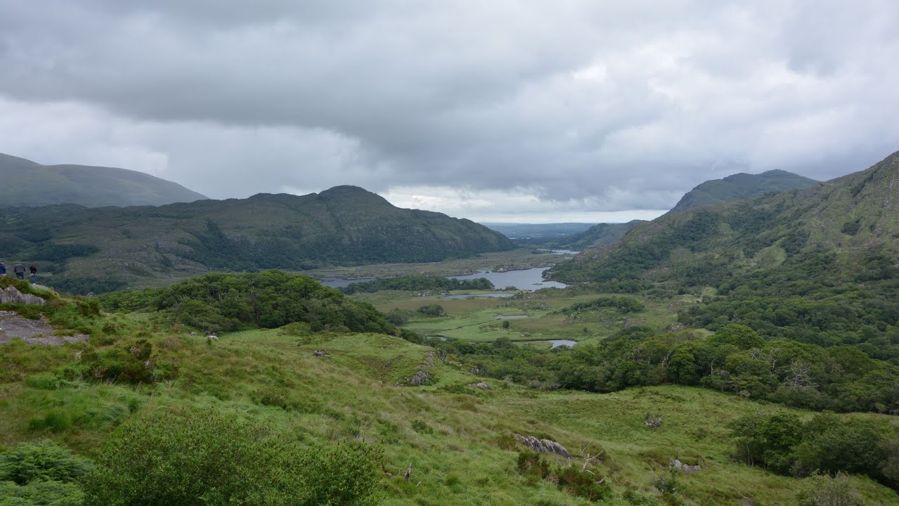 CaveMan-made underground passage · 431 yd
 Parknahooan CaveMan-made underground passage · 620 yd
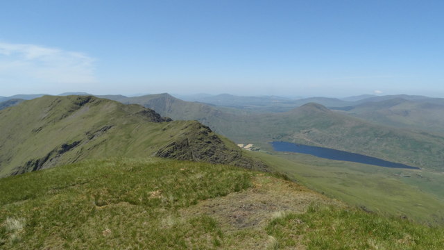 Beann NE TopMountain / peak · 1.8 mi
 MullaghanattinMountain / peak · 1.9 mi
 Ballaghbeama GapViewpoint · 2.4 mi
 Blackstones Bridgebridge · 4.2 mi
 CarrauntoohilMountain / peak · 6.0 mi
 Penitential station in TreanmanaghPenitential station · 6.4 mi
 Devil's Ladder RouteWalking route · 7.1 mi
 Crash site of USAAF DakotaHeritage attraction · 7.8 mi
 De Gaulle MemorialMonument · 8.2 mi
 Sneem Commemoration PlaqueMemorial · 8.2 mi
Other information
Photo: Credit not shown in the picture search · Rights wording not checked; contact us if this picture should be removed