What is recorded here
In pasture, on the lower S-facing slopes of the Ox Mountains. A partially blocked-up entrance reveals a stone-lined passage (Wth 0.8m; long axis NW-SE) roofed with lintels.
The above description is derived from the published 'Archaeological Inventory of County Sligo' compiled by Ursula Egan, Elizabeth Byrne, Mary Sleeman with Sheila Ronan and Connie Murphy (Dublin Stationery Office, 2005).
Date of upload: 18 January 2008
The monument record does not grant public access. Check the route and ask the landowner before entering private land.
- What survives
- Recorded monument
Places near here
 Dermot & Grania's BedArchaeological place · 83 yd
 Castle Carragh in RuinsCastle, unclassified · 139 yd
 Carrick WoodWood · 1.4 mi
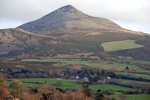 ToberaraghtHoly well · 1.5 mi
 New WoodWood · 1.8 mi
 Mass RockNamed rock · 2.3 mi
 Saint Attracta's Catholic Churchchurch/chapel · 2.3 mi
 Lough Talt TrailVisitor information · 2.5 mi
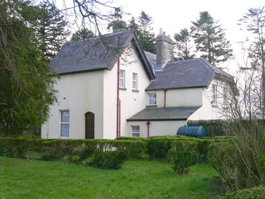 Shooting Lodgehunting/fishing lodge · 2.7 mi
 Castle (Site of)Castle, unclassified · 2.9 mi
 Largan HillMountain / peak · 3.7 mi
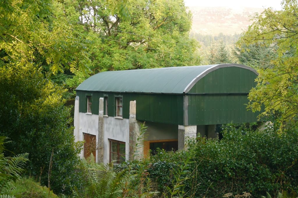 CloonacoolMountain / peak · 3.9 mi