What is recorded here
Marked as a cave on the 1837 and 1914 eds. of the OS 6-inch map, and situated inside the bank of rath (RO015-012001-) at W. This is probably the Man-made underground passage described as having five rooms (Lewis 1837, vol. 1, 635) and which was closed in the 1930s according to local information. It is not visible at ground level.
Compiled by: Michael Moore
Date of upload: 24 August 2010
The monument record does not grant public access. Check the route and ask the landowner before entering private land.
- What survives
- Recorded monument
Places near here
 Gray's WoodForest · 490 yd
 Square WoodForest · 731 yd
 Kilnamanagh Church (in Ruins)Church · 934 yd
 St Patricks WellHoly well · 1028 yd
 Embanked enclosureFairy fort / earthen ringfort · 1143 yd
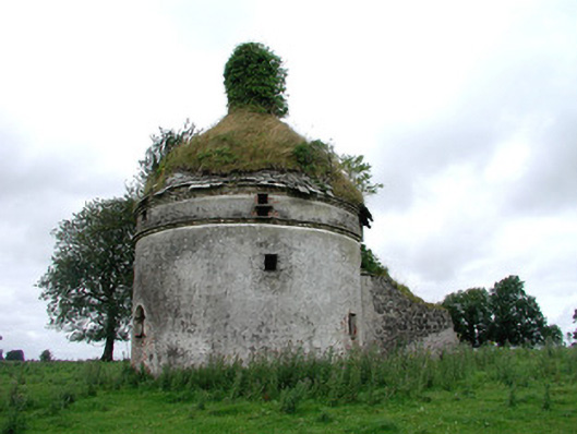 Frenchpark Housebuilding misc · 1.0 mi
 Frenchpark Ho.Castle, unclassified · 1.1 mi
 CastleBawn · 2.4 mi
 Bawn IslandIslet · 2.5 mi
 Rose PointHeadland · 3.8 mi
 Castle PointHeadland · 4.5 mi
 Inch IslandIslet · 4.6 mi