
What is recorded here
In a rath (MA072-035001-). This Man-made underground passage is indicated on the 1838 and 1930 OS 6-inch maps as ‘Cave’ on the S edge of the rath interior. Two in situ roof lintels can be seen on the SSE edge of the interior. One is set in the rath scarp, underlying a short section of drystone wall that tops the scarp…
Read the whole record
From the National Monuments Service (Archaeological Survey of Ireland) record MA072-035002
Places near here
Photo credits
- Maker not stated on source page, www.pinterest.com
- Maker not stated on source page, www.wellwoodmemorials.com
- Swinford GAA; the page thanks Michael Maye, Rita Campbell and Fiona McDonagh, without assigning the panoramic image to one maker, swinfordgaa.ie
- Maker not stated on source page, www.dreamstime.com
- National Inventory of Architectural Heritage
- Golfing in Ireland; photographer not stated, Source publisher
- Maker not stated on source page, megalithics.com
- David Purchase, Geograph · Creative Commons Attribution-ShareAlike 2.0
- Maker not stated on source page, en.wikipedia.org
 Standing stone in Brackloon (gallen By.)Standing stone · 1590 yd
Explorer Tom Standing stone in Brackloon is leaning so far over it’s practically napping on the hillside. I reckon it dodged the…
 St. Joseph's Cemetery MidfieldCemetery · 1.3 mi
Explorer Tom St. Joseph's Cemetery Midfield has very strong opinions about which sheep are allowed to graze on its headstones and…
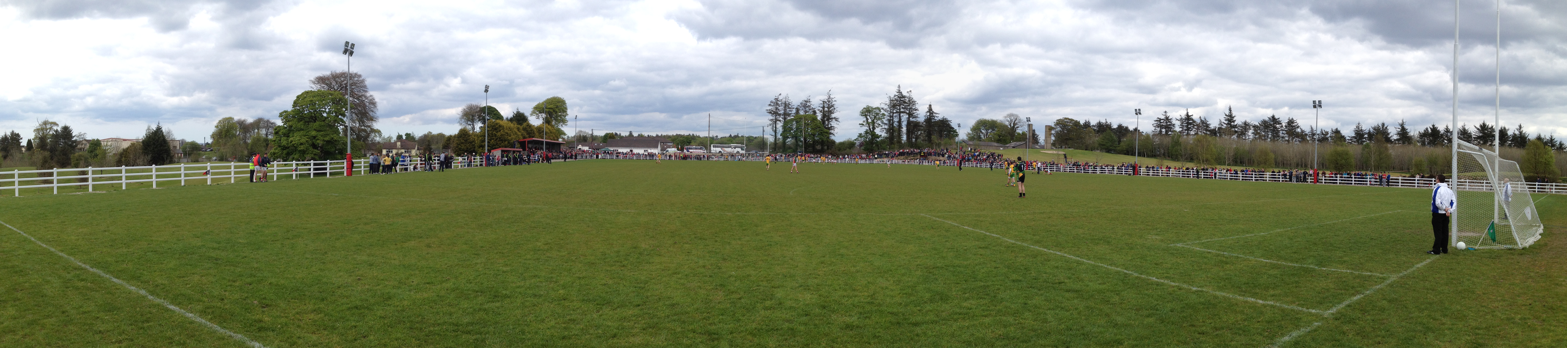 Robert McCallion Memorial Park, Swinford GAAGAA ground · 1.5 mi
 Church (in Ruins)Church · 1.5 mi
Explorer Tom Church in Kinaff smells like old wet socks and forgotten promises, according to my very scientific nose. It sits in the…
 bridge1.6 mi
Explorer Tom Bridge in Ballinlag is a tiny culvert-like thing that was built for a railway line called the 'Burma Road,' which…
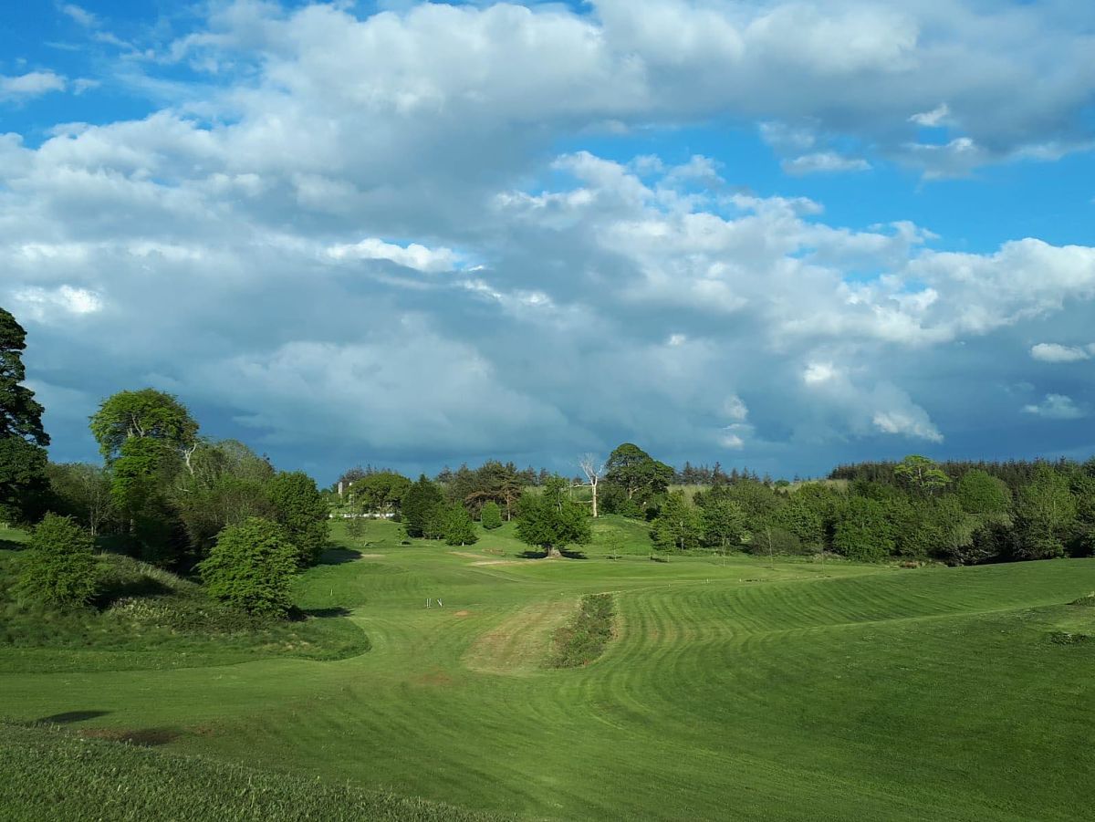 Swinford Golf ClubGolf course · 1.6 mi
 Kinaff BridgeBridge · 2.0 mi
Explorer Tom Kinaff Bridge would be the best man at a wedding. It stands there all night, holding things up so nobody falls over…
 Wedge tomb in BarnalyraWedge tomb · 4.2 mi
Explorer Tom Wedge tomb in Barnalyra is playing hide-and-seek on that rise. Imagine explaining its stone gallery to a teen; they’d…
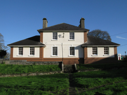 Kiltimagh Cottage HospitalHospital/infirmary · 4.5 mi
Explorer Tom Kiltimagh Cottage Hospital has a legend about a tunnel to the pub so patients could sneak out for pints. It was…
 Saint Patrick's Catholic ChurchChurch/chapel · 4.5 mi
Explorer Tom Saint Patrick's Catholic Church in Lisnagross is dressed up like it’s on The Bachelor, but with more stone. A parish…
 Maghus Castle and Tir na nÓg PlaygroundChildren's playground · 4.6 mi
Explorer Tom Maghus Castle and Tir na nÓg Playground in County Mayo would order double chips and a mystery sauce at the chipper.…
 Kilkelly Cemetery CulmoreCemetery · 5.4 mi
Explorer Tom Kilkelly Cemetery Culmore in County Mayo is sick of being asked if it’s haunted, which it finds offensive because it’s…
More archaeology and monuments in County Mayo · All of County Mayo

What do you know about this place?Tap to add a comment or ask a question