What is recorded here
Two Man-made underground passages are marked on the 1927 ed. of the OS 6-inch map, one of which is also marked on the 1840 ed of the map. It is likely that there is only one Man-made underground passage which is indicated by an area of scrub centrally located within rath (WA035-010----), and also by two lintels on the perimeter at N.
The above description is derived from the published 'Archaeological Inventory of County Waterford' (Dublin: Stationery Office, 1999). In certain instances the entries have been revised and updated in the light of recent research.
Date of upload/revision: 6th October, 2011
Compiled by: Michael Moore
The monument record does not grant public access. Check the route and ask the landowner before entering private land.
- What survives
- Recorded monument
Places near here
 RathFairy fort / earthen ringfort · 10 yd
 RoadRoad, road/trackway · 1164 yd
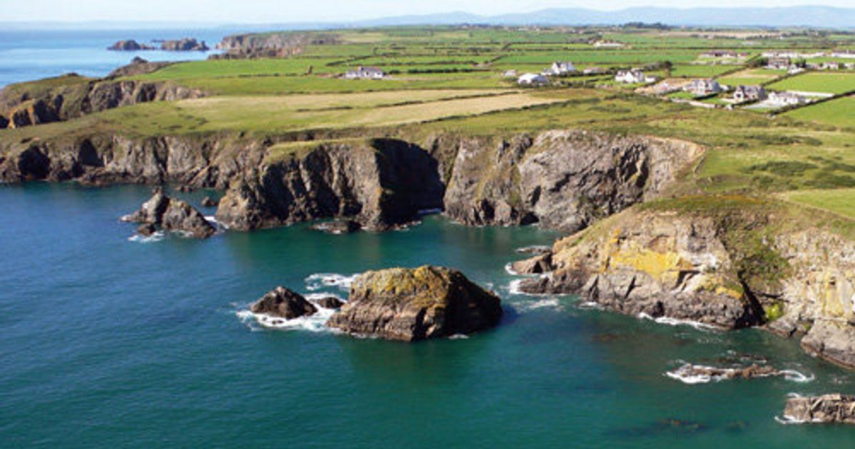 Embanked enclosureFairy fort / ringfort · 1487 yd
 Saint Declan's Holy WellSpring · 1669 yd
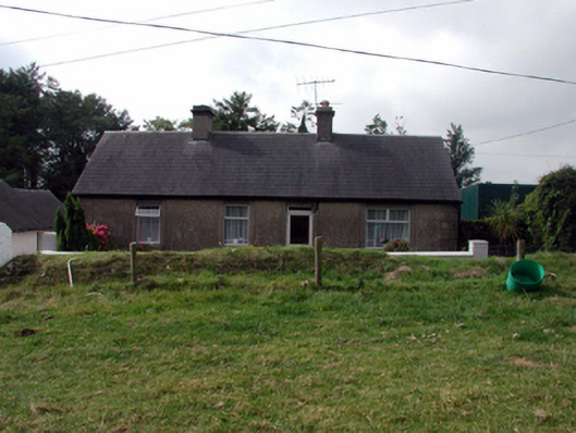 farm housefarm house · 1.1 mi
 CarronadavdergMountain / peak · 1.7 mi
 Clashmore Heritage CentreHeritage attraction · 2.0 mi
 Castle (in ruins)Castle, tower house · 2.7 mi
 Kilmaloo LoughWood · 3.1 mi
 Dromore WoodWood · 3.5 mi
 Site of CastleCastle, unclassified · 4.1 mi
 Ardmore Open FarmHeritage attraction · 4.2 mi