What is recorded here
Unlocated roadway or causeway within townland, causeway referred to in 1305 and described as the 'causeway (calcetum) of Moydasschyl' i.e. Modeshil, Co. Tipperary (Lucas 1985, 51).
Compiled by: Jean Farrelly
Date of upload: 26 August 2011
The monument record does not grant public access. Check the route and ask the landowner before entering private land.
- What survives
- Recorded monument
Places near here
 Site of ChurchChurch · 990 yd
 Enclosure in GlengallEnclosure · 1399 yd
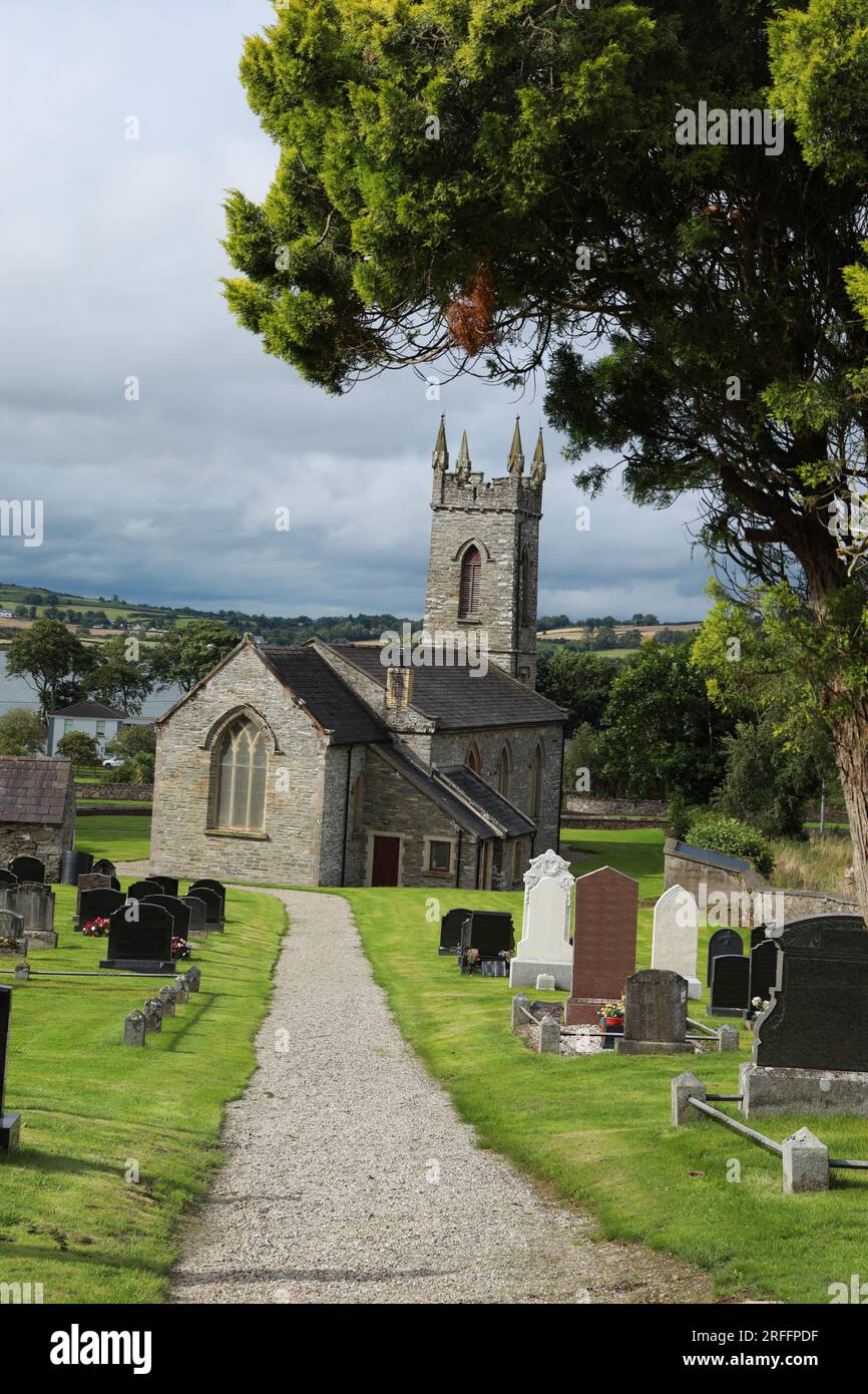 Church in ShangarryChurch · 1570 yd
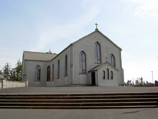 Catholic Church of the Assumptionchurch/chapel · 1.1 mi
 Site of CastleCastle, unclassified · 1.3 mi
 Ballingarry Castle (ruins)Archaeological place · 1.4 mi
 Top Field at Carey'sForest · 2.4 mi
 Second Field on the HillForest · 2.5 mi
 Warhouse HillMountain / peak · 3.4 mi
 Knockuragh HillMountain / peak · 3.6 mi
 Derrynaflan TrailHeritage attraction · 7.1 mi
 Gobban Saer's GraveArchaeological place · 8.0 mi