What is recorded here
On the S and SE side of Garret Island in Lough Gur on shallow reefs underwater. The island is 150m NW of the Knockadoon peninsula where extensive archaeological excavations have uncovered significant Neolithic and Bronze Age archaeological monuments (Cleary 2018). Prehistoric settlement is present on the island…
Read the whole record
From the National Monuments Service (Archaeological Survey of Ireland) record LI032-021
Places near here
Photo credits
- Maker not stated on source page, nexusnewsfeed.com
- Maker not stated on source page, au.pinterest.com
- Ruhrfisch, Wikimedia Commons · CC BY-SA 4.0
- Maker not stated on source page, ru.pinterest.com
- Ballyhoura Failte, Wikimedia Commons · CC BY-SA 2.0
- No machine-readable author provided. Christian1965~commonswiki assumed (based on copyright claims)., Wikimedia Commons · Public domain
- Maker not stated on source page, www.irishamerica.com
- Maker not stated on source page, www.tripadvisor.com.tr
- Maker not stated on source page, www.alamy.com
- Maker not stated on source page, fr.pinterest.com
- National Inventory of Architectural Heritage
 Anomalous stone group in Grange (smallcounty By.)Anomalous stone group · 699 yd
Explorer Tom Anomalous stone group in Grange is proud of being invisible to most people, which is a power move. It’s just magnetic…
 Stone CirclesSettlement platform · 709 yd
Explorer Tom Stone Circles in Loughgur swear by a superstition that says if you blink first, they’ll steal your left shoe. It’s all…
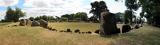 Grange Stone CircleArchaeological place · 838 yd
Explorer Tom Grange Stone Circle has a forty-tonne stone that makes me reconsider every complaint I have made about carrying…
 Dolmen (site of)Megalithic structure · 890 yd
Explorer Tom Dolmen in Grange makes a weird clicking sound at night, probably because it’s missing a tooth. It sits next to a…
 Giants GraveMegalithic tomb · 1028 yd
Explorer Tom Giants Grave in Ballynagallagh took forty cups of tea to build, if you ask me. The stones lean so hard they're…
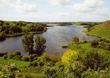 Áine and Gearóid Iarla: Lough GurLegend location · 1065 yd
Explorer Tom Áine and Gearóid Iarla: Lough Gur has a goddess for the lake and a sleeping lord in the old stories. I thought I was…
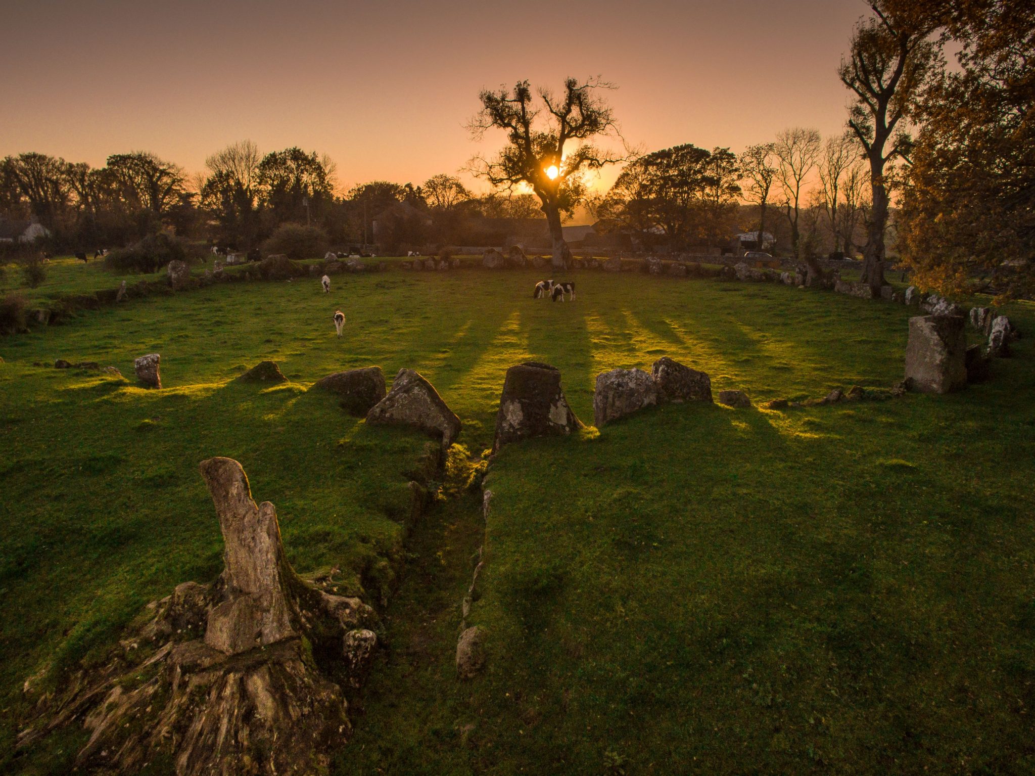 Cist in LoughgurCist · 1159 yd
Explorer Tom Cist in Lough Gur loves 'Bohemian Rhapsody' because it fits right in with the rock opera vibe of being buried in a…
 Grange CastleRuins · 1267 yd
Explorer Tom Grange Castle was once offered to a cow who tried to buy it with a really impressive piece of cheese. The deal fell…
 Standing stone in LoughgurStanding stone · 1270 yd
Explorer Tom Standing stone in Lough Gur would survive Big Brother by just standing still and ignoring everyone who tries to talk to…
 Grange Castle (in ruins)Castle, unclassified · 1274 yd
Explorer Tom Grange Castle would survive a zombie attack by climbing onto its rock outcrop and waiting for them to get tired of…
 Ballynagallagh CottageHouse · 1629 yd
Explorer Tom Ballynagallagh Cottage thinks the road leading to it is an insult to its high-quality limestone sills, which is…
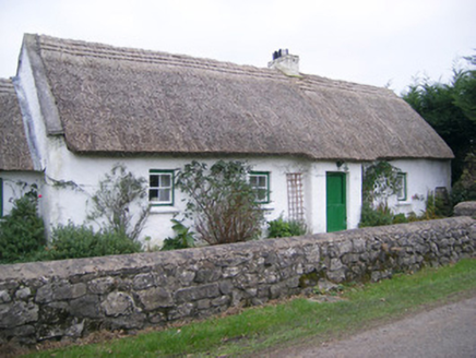 Maura's CottageHouse · 1707 yd
Explorer Tom Maura’s Cottage in Loughgur is thick on thatch and thin on privacy, so I suspect two fairies are currently fighting…
More archaeology and monuments in County Limerick · All of County Limerick

What do you know about this place?Tap to add a comment or ask a question