What is recorded here
On a slight rise, in tillage, and standing on the E limits of a possible bawn (KD030-004001-). According to Carroll (1892, 111), Castlereedy Castle was held by the Le Rede family in the 14th-century. The very poorly preserved ivy-clad, remains of portions of the W, N and E walls (av. T 1.3m) of a rectangular…
Read the whole record
From the National Monuments Service (Archaeological Survey of Ireland) record KD030-004001
Places near here
Photo credits
- Maker not stated on source page, br.pinterest.com
- Maker not stated on source page, en.wikipedia.org
- Maker not stated on source page, en.topwar.ru
- Sarah777, Wikimedia Commons · Public domain
- National Inventory of Architectural Heritage
- Mike Searle, Wikimedia Commons · CC BY-SA 2.0
- Thenameisrob, Wikimedia Commons · CC BY-SA 4.0
- Kmcnamee, Wikimedia Commons · CC BY-SA 4.0
 Mapped graveyardGraveyard · 318 yd
Explorer Tom It has an imaginary twin across the sea in this mapped graveyard in Kildare that talks to it during high tides every…
 CastleGatehouse · 378 yd
Explorer Tom Castle in Kilberry is a ruined gatehouse that is basically just a rectangular sketch of what a castle used to be before…
 Enclosure in Sheean (kilberry Ed)Enclosure · 534 yd
Explorer Tom Enclosure in Sheean is tiny, fifteen metres across, which means it’s basically a puddle with ambition. It had a…
 Kilberry ChurchChurch/chapel · 789 yd
Explorer Tom Kilberry Church has a secret fan club of local sheep who just stare at it from the fields. It's tiny but acts like it's…
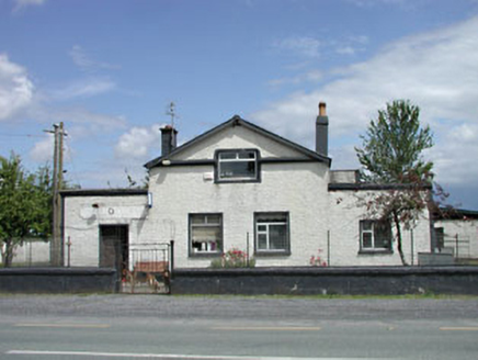 P. JonesRic barracks · 865 yd
Explorer Tom P. Jones was a barracks that survived a storm by just screaming at the wind. Now it looks like a shop but remembers…
 Reban CastleCastle, Anglo-Norman masonry castle · 1209 yd
Explorer Tom Reban Castle was designed by a mother-in-law who wanted everyone to watch her over the river Barrow. It’s been guarding…
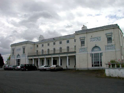 Bert HouseHouse · 1436 yd
Explorer Tom Bert House in Bert Demesne thinks Dublin tourists are loud, messy, and slightly damp. It’s a massive Classical beast…
 Church in Bert DemesneChurch · 1518 yd
Explorer Tom Church in Bert Demesne is hiding from the mapmakers like a shy cat under a sofa. It was on an old map, but nobody can…
 Milltown BridgeBridge · 1667 yd
Explorer Tom Milltown Bridge over the canal is where two lovers once argued so loudly the stones themselves seemed to cringe and…
 Castlemitchell GAA pitchGAA ground · 1.1 miRheban GAA pitchGAA ground · 1.3 miGraveyard in Oldcourt (bert Ed)Graveyard · 1.7 mi
Explorer Tom Oldcourt’s graveyard got carted off by a greedy shopkeeper to fertilize his crops, so basically everyone is now…
More castles and forts in County Kildare · All of County Kildare

What do you know about this place?Tap to add a comment or ask a question