What is recorded here
Castlekid is a rectangular earthen castle with three concentric defensive rings, a northeast entrance gap and a larger outer ward beside poorly drained Westmeath land. It stands about 60 metres south of the River Riffey, near a church, graveyard and another motte castle, forming a small medieval landscape rather than a lonely ruin. The outer ward later shows faint cultivation ridges, suggesting its defenders gave way to farmers working the same strange, solid ground.
Castlekid is recorded as a archaeological place in County Westmeath. Its open map record supplies this location and any linked names or public references.
Places near here
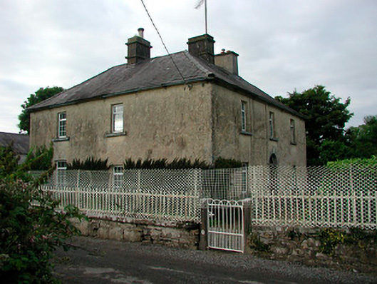 Barratogher Househouse · 576 yd
 Church (in Ruins)Church · 694 yd
 Ecclesiastical enclosure in RussaghEcclesiastical enclosure · 704 yd
 CastleCastle, motte · 748 yd
 Partially indicatedFairy fort / earthen ringfort · 819 yd
 MoatCastle, motte and bailey · 1.2 mi
 Silver FirSilver Fir · 2.3 mi
 Sweet ChestnutSweet Chestnut · 2.9 mi
 Bridge Memorial (Kenna)Memorial · 4.9 mi
 Edgeworthstown BypassMemorial · 5.1 mi
 Granard MotteMotte-and-bailey castle remains · 7.7 mi
 1798 Monumentmonument · 7.7 mi