What is recorded here
Situated on a low rise 60m S of the River Riffey in poorly drained land with extensive views to the E & W. Depicted as ‘Castlekid’ on the 1837 ed. OS 6-inch map. Church (WM006-062----) and graveyard (WM006-062001-) 600m to SW. Motte (WM006-015----) 650m to W. A rectangular raised area (dims. 23m NE-SW; 17m NW-SE) with rounded corners enclosed by a well preserved earthen bank, shallow fosse, second earthen bank and fosse with a third earthen bank and external fosse beyond this. The outer banks and fosses are absent at S. Causewayed entrance gap at NE. Outside this fosse to the NE is a sub-rectangular raised area or possible bailey/annexe (dims. 37m NE-SW; 22m NW-SE) with traces of a poorly preserved earthen bank at SW, and a shallow external fosse. The interior slopes from S-N with traces of cultivation ridges running NE-SW. A possible field system or drainage ditches to N and E of this site visible on Digital Globe aerial photograph taken November 2011.
Compiled by: Frank Coyne & Caimin O'Brien
Date of upload: 26 January 2017
The monument record does not grant public access. Check the route and ask the landowner before entering private land.
- What survives
- Recorded monument
Places near here
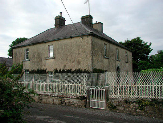 Barratogher Househouse · 579 yd
 Church (in Ruins)Church · 700 yd
 Ecclesiastical enclosure in RussaghEcclesiastical enclosure · 710 yd
 CastleCastle, motte · 753 yd
 Partially indicatedFairy fort / earthen ringfort · 821 yd
 MoatCastle, motte and bailey · 1.2 mi
 Silver FirSilver Fir · 2.3 mi
 Sweet ChestnutSweet Chestnut · 2.9 mi
 Bridge Memorial (Kenna)Memorial · 4.9 mi
 Edgeworthstown BypassMemorial · 5.1 mi
 Granard MotteMotte-and-bailey castle remains · 7.7 mi
 1798 Monumentmonument · 7.7 mi