What is recorded here
In 1635 Castlecomer was granted to Christopher Wandesforde, who established a town there and in 1638 built Castlecomer House. The house is depicted on the Down Survey (1655-6) barony map of Fassadining, County Kilkenny (Hibernia Regnum, courtesy of Trinity College Dublin). Though, according to Nolan (1979, 78, 112), the family did not establish their principal residence here until c. 1694.
During the 1798 rebellion the United Irishmen fought the Crown Forces in the ‘Battle of Comer’, as a result of which the town and the original Wandesforde residence was burnt (Ó Drisceoil 2018, 58). Following this, in c. 1802, Anne Countess of Ormonde and Ossory built a new house on the site of its predecessor (ibid.). By the 1960s the house had become vacant and it was almost completely demolished in 1975 (http://archiseek.com/2014/1802-castlecomer-house-co-kilkenny/, viewed 12 June 2017). In 1979 a two-storey house was built on part of the site (Farrelly et al. 1993, 128).
See attached:
KK005-081----_01 extract from Down Survey (1655-6) barony map of Fassadining (Hibernia Regnum, courtesy of Trinity College Dublin)
Compiled by: Jean Farrelly
Date of upload: 18 January 2022
The monument record does not grant public access. Check the route and ask the landowner before entering private land.
- What survives
- Recorded monument
Places near here
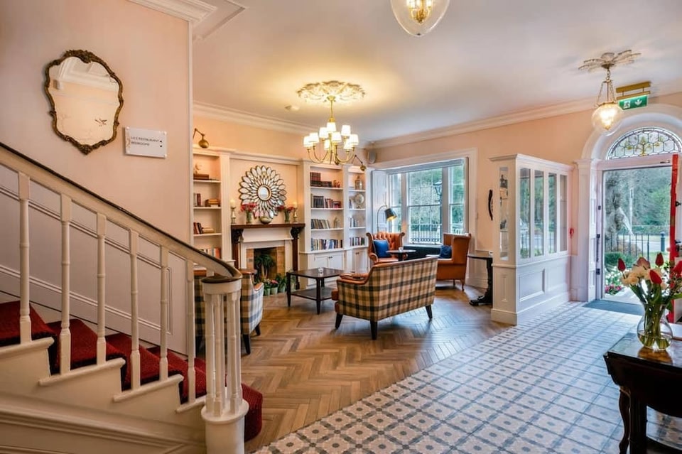 Castlecomer House (site of)Archaeological place · 4 yd
 European YewEuropean Yew · 76 yd
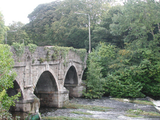 bridgebridge · 122 yd
 1798Memorial · 149 yd
 The GarrisonCastle, motte · 165 yd
 Estate YardMemorial · 302 yd
 Castlecomer Discovery ParkHeritage attraction · 332 yd
 Footprints In CoalMuseum · 340 yd
 Holy WellHoly well · 378 yd
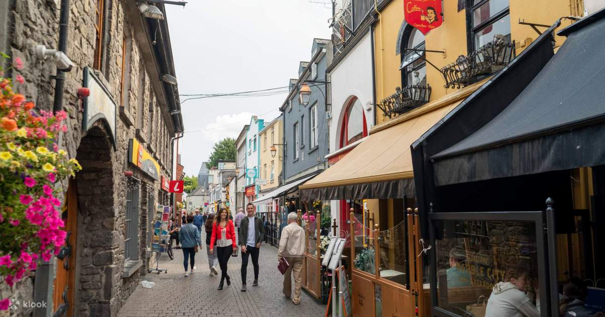 Sawney's WoodForest · 1044 yd
 Ardra LoopWalking route · 1129 yd
 Enclosure in Ballyhimmin (knocktopher By.)Enclosure · 1.0 mi