
What is recorded here
Castle stands in Williamstown, County Carlow, marked on the Down Survey map of 1655-6 but reduced to a debris mound hiding a ten-metre wall footing. The stones may have sheltered lovers, soldiers or ordinary families before time buried them, yet the foundation still resists forgetting.
The following description is derived from the published 'Archaeological Inventory of County Carlow' (Dublin: Stationery Office, 1993). In certain instances the entries have been revised and updated in the light of recent research.
Date of upload/revision: 17 July 2007
Castle marked here on Down Survey (1655-6) map. Wall footing (L c. 10m) visible in mound of debris.
The monument record does not grant public access. Check the route and ask the landowner before entering private land.
- What survives
- Recorded monument
Places near here
 Enclosure in WilliamstownEnclosure · 132 yd
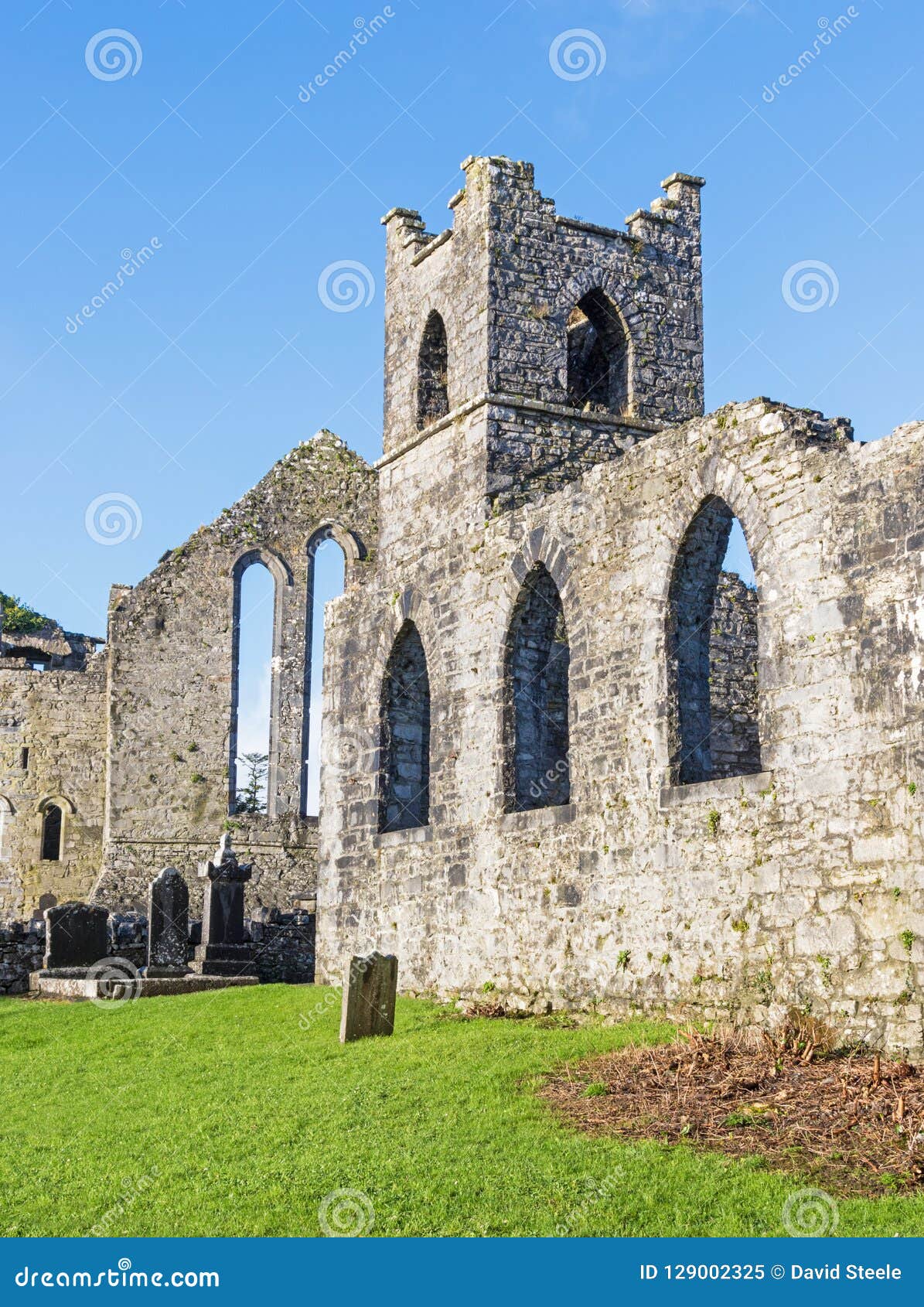 Abbey (Site of)Ecclesiastical site · 622 yd
 Site of CastleCastle, unclassified · 664 yd
 Acaun Church (in ruins), GraveyardChurch · 1057 yd
 Acaun Monastery (in ruins)Religious house, Augustinian friars · 1135 yd
 Lisnavagh Housefarmyard complex · 1317 yd
 Church (in ruins), GraveyardChurch · 3.0 mi
 European BeechEuropean Beech · 3.5 mi
 European ashEuropean ash · 3.8 mi
 Clonmore Castle (in Ruins)Castle, Anglo-Norman masonry castle · 3.8 mi
 Eagle HillMountain / peak · 4.0 mi
 Ballycumber HillMountain / peak · 7.9 mi
Other information
Photo: Credit not shown in the picture search · Rights wording not checked; contact us if this picture should be removed