What is recorded here
Castle, unclassified in Spricklestown stands in County Dublin, Ireland. Robert Fitz Rory held the old castle walls there during the Civil survey (1654-6). The castle may have stood north of the local lane, but no trace remains visible at ground level today.
The Down Survey (1655-6) map shows a castle at Sprickletown. This is the castle described in the Civil survey (1654-6) as the walls of an old castle held by Robert Fitz Rory (Simington 1945, 234). The most probable location for the castle is to the N of the lane that runs through the townland where there are buildings marked on the 1937 OS 6-inch map. These have been removed and a new house constructed. Not visible at ground level.
Compiled by: Geraldine Stout
Date of upload: 26 August 2011
Robert Fitz Rory held the castle at Spricklestown during the 1650s, as recorded in the Civil Survey. It is remembered as part of the medieval defensive landscape in the region and provides insight into local strongholds during the Cromwellian conquest of Ireland.
The monument record does not grant public access. Check the route and ask the landowner before entering private land.
- What survives
- Recorded monument
Places near here
 Industrial site in CherryhoundIndustrial site · 517 yd
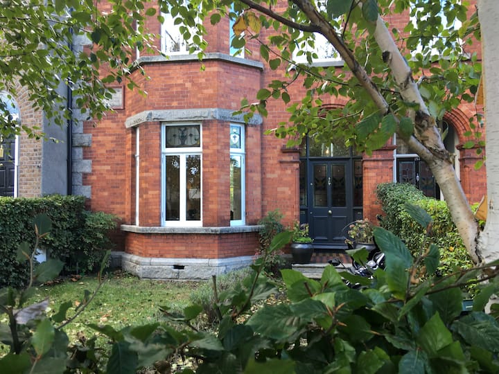 Habitation site in Ward UpperHabitation site · 525 yd
 RoadRoad, road/trackway · 759 yd
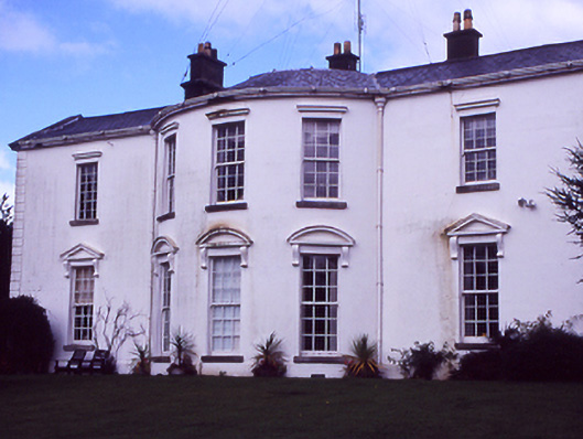 Hollywoodrathcountry house · 982 yd
 Depicted Kilshane MoatCastle, motte · 1488 yd
 CastleCastle, unclassified · 1548 yd
 TyrrelstownWood · 1.9 mi
 Graveyard in BuzzardstownGraveyard · 2.1 mi
 Wesley's WoodsWood · 2.3 mi
 Liam Ó MaoilíosaMemorial · 3.5 mi
 The MoundViewpoint · 4.5 mi
 BallymunVisitor information · 4.5 mi