What is recorded here
Rathdrumin's castle is a phantom even in its own history. Tradition placed it beside Rath Moat, but the Down Survey (1656-8) showed no castle at Rathdrumenure (57), and by the 1960s the tradition itself had vanished. Whatever stone or timber stood there, it left no mark worth measuring.
There was a tradition of a castle close to 'Rath Moat' (IFC Schools' Mss 673, 120-1), for which see this web-page accessed on 9 May 2016 http://www.duchas.ie/en/cbes/5008861/4961785 However, a castle is not depicted at Rathdrumenure (57) in Rathdrumnoe parish on the Down Survey (1656-8) map, for which see this web-page accessed on 9 May, 2016 http://downsurvey.tcd.ie/down-survey-maps.php#bm=Ferrard&c=Louth Its precise location is not known, and even this tradition did not survive into the 1960s.
Compiled by: Michael Moore
Date of revised upload: 9 May 2016
The monument record does not grant public access. Check the route and ask the landowner before entering private land.
- What survives
- Recorded monument
Places near here
 Church (Disused)Church · 157 yd
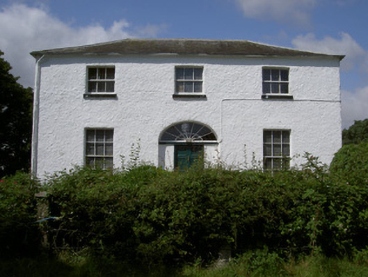 Glebe Houserectory/glebe/vicarage/curate's house · 213 yd
 Chapel (in Ruins), GraveyardChurch · 913 yd
 Moneyveg WoodForest · 1204 yd
 Holy well in CarrickbaggotHoly well · 1355 yd
 Enclosure in RinkinstownEnclosure · 1447 yd
 Sweet baySweet bay · 1.1 mi
 BarmeathCastle, tower house · 1.1 mi
 Graveyard in DysartGraveyard · 1.1 mi
 Tullydonnell HillMountain / peak · 2.2 mi
 CastleCastle, unclassified · 2.2 mi
 MonasterboiceEarly monastic site · 4.5 mi