What is recorded here
Rathbennett Castle vanished from later maps despite appearing on the 1655-9 Down Survey, leaving behind a gap where a tower house should stand. It overlooked the Golden Hand River near bogland, marking the lands of Sir Thomas Nugent in Leny parish. The castle may still hide beneath ordinary fields, waiting for someone to stop measuring and start seeing.
The precise location of Rathbennett Castle has not been identified. Castle depicted on the 1655-9 Down Survey map of Leny parish (NLI, MS 723-4), but not depicted on any edition of the OS 6-inch maps. The Down Survey parish recorded that the castle stood on the lands of Sir Thomas Nugent an 'Irish Papist'. The terrier of the Down Survey parish map of Leny recorded that ‘there are in this parish six castles vizt. at Rathbennett (WM011-060----), Farrow (WM011-055----) Cullanhue (WM011-007----) Ballinafid (WM011-077----) each one & at Ballinilack two castles (WM006-048----/-049----)’ (ibid.). On this map the castle is depicted as a tower house type structure overlooking the Golden Hand River and close to bogland in the townland of Rathbennett. The Golden Hand River is a stream which connects Lough Iron to Lough Owel with several watermills powered by the stream as depicted on the Down Survey maps. Rathbennett Castle appears to have been located in the fields N of Mullenoran Bridge. The fields inspected were based on an approximate location by superimposing an image of the Down Survey map onto the OS 6-inch map. This placed the castle in the area annotated as 'Blind Key' on the 1837 ed. OS 6-inch map.
Compiled by: Caimin O'Brien
Date of upload: 3 October 2016
Rathbennett Castle was likely built in the 17th century, as indicated by its appearance on the 1655–1659 Down Survey map. Its importance lies in its historical record as a local stronghold, though its exact location and builder remain unidentified.
The monument record does not grant public access. Check the route and ask the landowner before entering private land.
- What survives
- Recorded monument
Places near here
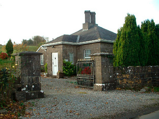 Rathbennett Housegate lodge · 436 yd
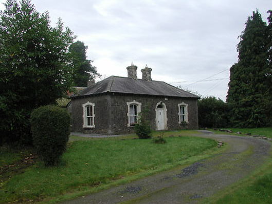 Farra Cottagehouse · 884 yd
 Ecclesiastical enclosure in LenyEcclesiastical enclosure · 997 yd
 Partially hachuredFairy fort / earthen ringfort · 999 yd
 Castle Quarter, Castle (in ruins)Castle, unclassified · 1002 yd
 IndicatedBawn · 1.1 mi
 Bridge Memorial (Kenna)Memorial · 2.5 mi
 Carrickphilbin IslandIslet · 2.9 mi
 Baronstown ForestWood · 3.0 mi
 Horse-chestnutHorse-chestnut · 3.1 mi
 Srudarra IslandIslet · 3.5 mi
 Rock of CurryCliff · 10 mi