
What is recorded here
Yes. That is the one or one of the ones you keep returning to. Shadow of the chief castle, the claim is not the same as the chief castle itself.
Situated on level ground, in NE corner of garden area to rear of house. Marked 'Castle' on the 1837 edition of the 6'' OS 6-inch map. The structure has been levelled. A low pile of rubble (dims. 10m by 10m; H 0.3m) lies at the site of the castle and may or may not derive from the structure. An ogee headed window (SL005-035----) was identified built into the exterior side of the SE-facing gable of a now deserted post-medieval house.
Compiled by: Patrick F. O'Donovan
Date of upload: 21 April 2011
The monument record does not grant public access. Check the route and ask the landowner before entering private land.
- What survives
- Recorded monument
Places near here
 Catholic Church of Mary Immaculatechurch/chapel · 26 yd
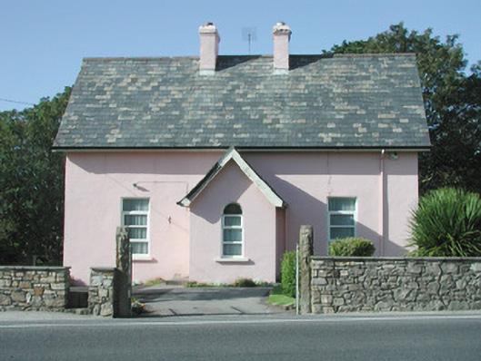 Saint Molaise'spresbytery/parochial/curate's house · 32 yd
 IndicatedHoly well · 392 yd
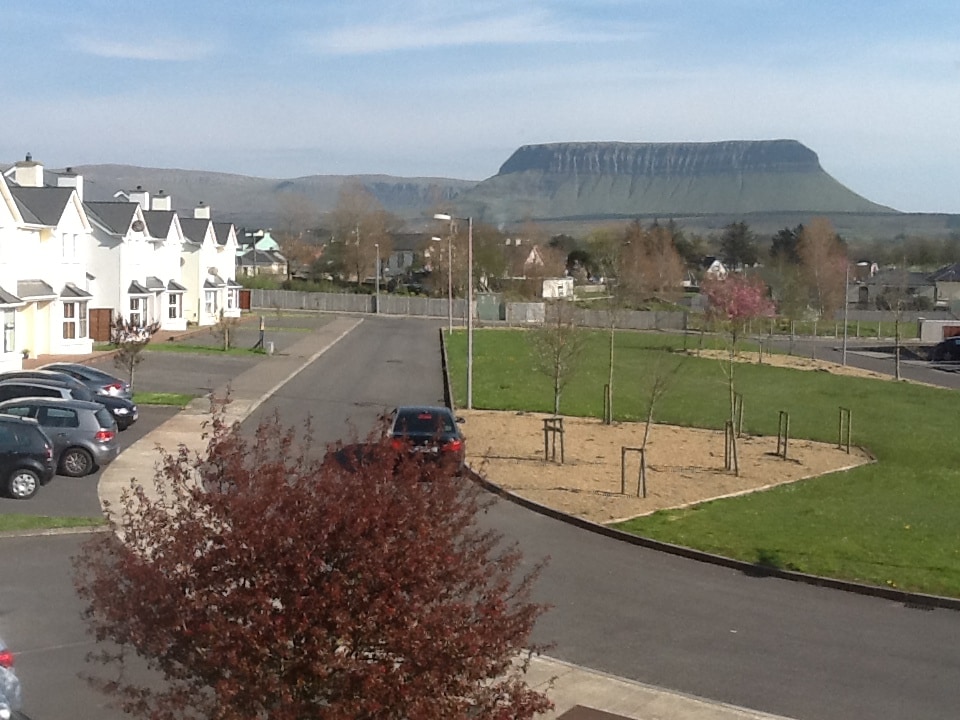 CashelmoreFairy fort / stone ringfort · 706 yd
 InishnagorIslet · 1386 yd
 Atlantic SheepdogsHeritage attraction · 1518 yd
 Connors IslandIsland · 1.5 mi
 Streedagh BeachVisitor information · 1.6 mi
 de Cuellar Armada MonumentMemorial · 1.6 mi
 BenbulbinMountain / peak · 2.8 mi
 Upperglen WoodForest · 2.9 mi
 Kennel WoodWood · 2.9 mi
Other information
Photo: Credit not shown in the picture search · Rights wording not checked; contact us if this picture should be removed