What is recorded here
Castle, unclassified, a rectangular tower house recorded in Graiguenamanagh, County Kilkenny, stood north of the River Barrow and east of the Douske River, owned by Sir Edward Butler in 1640. Its exact spot has slipped from the land, leaving behind a shape drawn in ink and a name preserved in a terrier. What is lost is not the castle itself but the chance to walk past its doors, hear its rooms echo, or discover whether it was a guard post, a home, or a boundary marker for the rivers and fields around it.
Indicated on the Down Survey (1655-6) barony map of Gowran and on the Down Survey parish map of Graige as a rectangular, tower house type castle, N of the River Barrow and E of the Douske River (Hibernia Regnum, courtesy of Trinity College Dublin). The terrier accompanying the parish map states, 'There is on Graige a Castle' and lists the proprietor in 1640 as Sir Edward Butler (ibid.). The precise location of this castle within the townland is unknown.
See attached:
KK029-018010-_01 extract from Down Survey (1655-6) barony map of Gowran (Hib. Reg., courtesy of Trinity College Dublin)
KK029-018010-_02 extract from Down Survey (1655-6) parish map of Graige (Hib. Reg., courtesy of Trinity College Dublin)
Compiled by: Jean Farrelly
Date of upload: 16 March 2022
A rectangular tower house built in the 17th century, it appears on the Down Survey maps of 1655–56 and is remembered as an example of early modern Irish castle architecture in the Graiguenamanagh area.
The monument record does not grant public access. Check the route and ask the landowner before entering private land.
- What survives
- Recorded monument
Places near here
 The PoundMemorial · 68 yd
 Keating's WellSpring · 128 yd
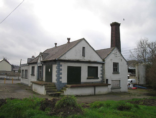 Graiguenamanagh Creamerycreamery · 138 yd
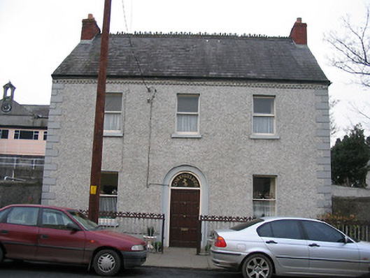 Corrigaleenhouse · 190 yd
 Ladys WellHoly well · 219 yd
 Monastic MillsMemorial · 224 yd
 TombTomb, effigial · 311 yd
 Tinahinch Castle (in Ruins)Castle, tower house · 642 yd
 CastleCastle, motte · 1.3 mi
 ClashgannyWood · 1.5 mi
 Freney's WellSpring · 1.7 mi
 Gorlough WoodForest · 1.9 mi