What is recorded here
Doonaltan in County Sligo may still hold the buried bones of a castle that vanished before modern memory began. Baptista Boazio drew the place on a 16th-century map, yet no wall, gate or room has reappeared to confirm the claim. The land keeps its secret, waiting for someone to stop asking permission and start digging.
A castle is marked in Doonaltan townland on a 16th-century map drawn by Baptista Boazio. The exact location is unknown.
Compiled by: Jane O'Shaughnessy
Date of upload: 28 July 2016
The monument record does not grant public access. Check the route and ask the landowner before entering private land.
- What survives
- Recorded monument
Places near here
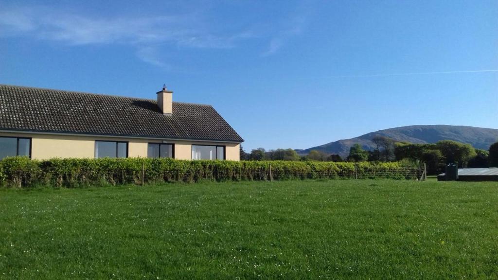 Hut site in Aughris (tireragh By.)Hut site · 138 yd
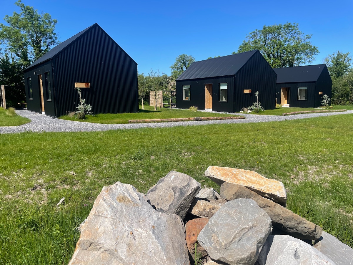 Hut site in Alternan ParkHut site · 782 yd
 Glenburn Househouse · 805 yd
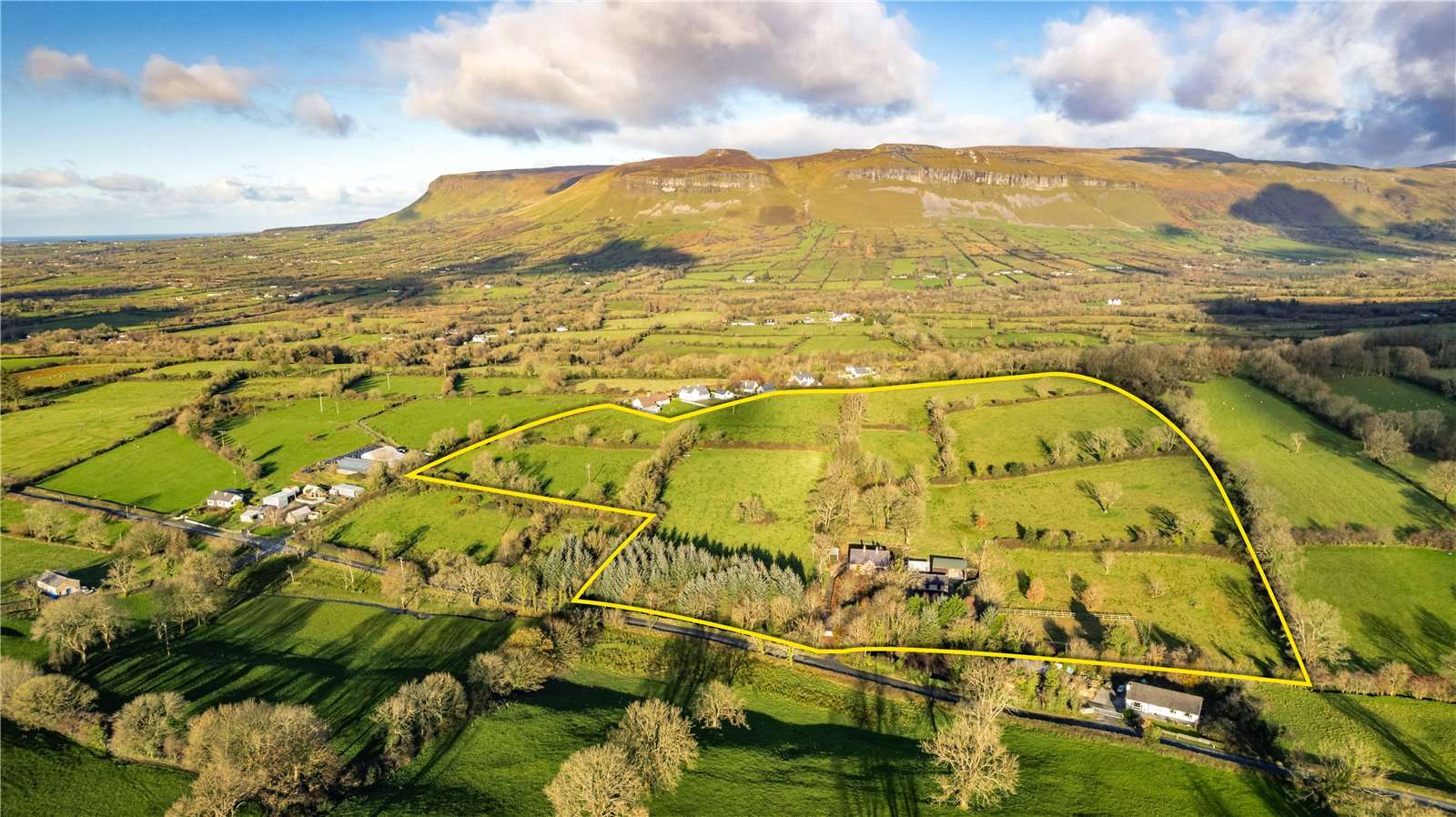 IndicatedBridge · 906 yd
 Site of Dunneill CastleCastle, unclassified · 1.3 mi
 DonaghHeadland · 1.4 mi
 Split RockNamed rock · 1.5 mi
 Ballynahowna CastleCastle, tower house · 1.6 mi
 Jim Smith MemorialMemorial · 2.8 mi
 Wild Atlantic Way: Easky PierVisitor information · 3.2 mi
 Eamonn's TopMountain / peak · 7.0 mi
 AnnatoranMountain / peak · 7.6 mi