What is recorded here
Castle in Corbollis, County Louth, appeared as ruins on one map and a house on the next, then vanished from human memory entirely. The land may still hide its stones beneath grass or gravel, waiting for rain to reveal an edge or a shadow. Its exact position remains unknown, but the contradiction between the two drawings suggests it was never ordinary. A castle that becomes a house before disappearing may have been built to resist certainty itself.
Structure shown as castle in ruins on Taylor and Skinner's map of 1777 at Corbollis, but the 1778 edition shows a house (P 260). There are no visible surface traces but its precise location is not known.
The above description is derived from both the published 'Archaeological Inventory of County Louth' (Dublin: Stationery Office, 1986) and the 'Archaeological Survey of County Louth' (Dublin: Stationery Office, 1991). In certain instances the entries have been revised and updated in the light of recent research.
Date of upload: 17 July 2007
The monument record does not grant public access. Check the route and ask the landowner before entering private land.
- What survives
- Recorded monument
Places near here
 Enclosure in CorbollisEnclosure · 397 yd
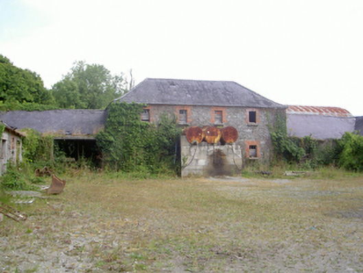 Corbollis Housecountry house · 476 yd
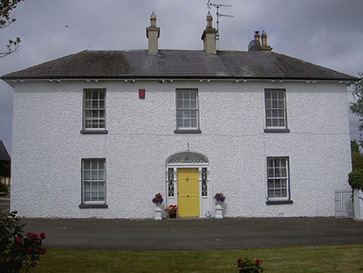 Rose Hillhouse · 858 yd
 Enclosure in KilcroneyEnclosure · 1021 yd
 MoatCastle, motte and bailey · 1.1 mi
 Long PlantationForest · 1.6 mi
 Rabbit BurrowWood · 1.7 mi
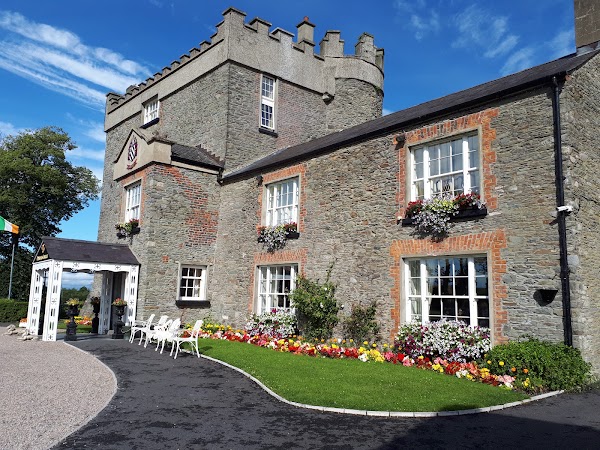 Darver CastleCastle · 1.8 mi
:no_upscale()/cdn.vox-cdn.com/uploads/chorus_asset/file/25593391/County_Louth_6th.jpg) LouthMountain / peak · 2.5 mi
LouthMountain / peak · 2.5 mi Graveyard in StickillinGraveyard · 4.0 mi
 Drummeenagh HillMountain / peak · 4.4 mi
 Graveyard in Richardstown (ardee By., Richardstown Par.)Graveyard · 4.5 mi