What is recorded here
Coolnapisha Castle vanished before human memory, leaving only a line on a 1657 survey map and a chain of ownership that jumped from Brandon to confiscation to White. The townland still holds the shape of what was taken, even if the stones no longer answer to a name.
The precise location of Shandangan Castle in the townland of Coolnapisha has not been identified. Westropp (1906-7, 104) recorded the following details about Coolnapisha Castle; '1655 Sandangyn forms one of a group of townlands in which a C[astle]. is shown in Petty's Map (C.S., xiii., p. 9; B.D., p. 38; Petty, 67 ; D.S.B., 15), granted to A. Brandon. 1688 Confiscated, Shandangine in Cloghine (Trustees' Maps 5, 33). 1703 Purchased by J. White.'. Tower house like castle shown standing in the townland of Coolnapisha close to the boundary with Dromalea and Shandagin on the 1657 Down Survey map of Coonagh Barony (Hib. Reg.).
Compiled by: Caimin O'Brien
Date of upload: 7 December 2020
Shandangan Castle, sometimes referred to as Coolnapisha Castle, was likely built in the 17th century, with references dating to 1655, and is remembered as part of a group of lesser-known Irish castles associated with local Gaelic or Anglo-Irish landholding families. Its importance lies in contributing to the historical landscape of early modern Ireland, though its exact location and builders remain uncertain.
The monument record does not grant public access. Check the route and ask the landowner before entering private land.
- What survives
- Recorded monument
Places near here
 Kilmore Burial GroundBurial ground · 276 yd
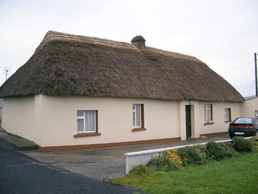 Historic buildingOfficially recorded historic building · 684 yd
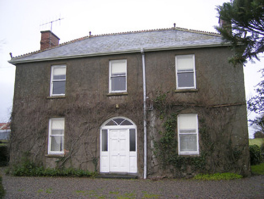 Foxfieldhouse · 782 yd
 BarrowBarrow, stepped barrow · 961 yd
 ToberagaddySpring · 1.5 mi
 Kilduff CastleCastle · 1.6 mi
 Kilduff Castle (in ruins)Castle, tower house · 1.6 mi
 KnockseefinMountain / peak · 3.0 mi
 Oola HillMountain / peak · 3.6 mi
 St. Patrick's WellSpring · 5.4 mi
 Flat cemetery in Knockainy WestFlat cemetery · 9.7 mi
 Shandangan Bridgebridge · 961 yd