What is recorded here
One low hill beside Currygrane Lough still carries the castle, town and lands named in a 1620 grant, though the exact stones have slipped from the land. A map made nearby marks the place, and an older rental book receives payment from it, but no clear ruin remains for a pointer. The town may have worn itself into fields, roads or memory.
In 1518 the rental book of the earl of Kildare records a payment of 13s 4d from ‘Castel Broke’ (Mac Niocaill 1992, 274). It is mentioned in 1620 in a land grant to Edmund Nugent Fitz Piers, which includes the ‘castle, town and lands of Castlenebrock’ (Cal. pat. rolls Ire., Jas I, 468). It is depicted on a low hill overlooking Currygrane Lough on an early 17th-century map of Granard barony (BL, Cotton MS Augustus I.i.47). Its precise location has not been identified.
Compiled by: Caimin O'Brien
Date of upload: 1 October 2012
The monument record does not grant public access. Check the route and ask the landowner before entering private land.
- What survives
- Recorded monument
Places near here
 IndicatedFairy fort / earthen ringfort · 280 yd
 Enclosure in Knockanbaun OR WhitehillEnclosure · 475 yd
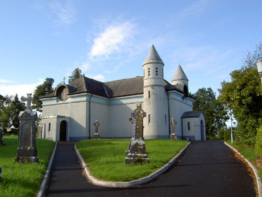 Saint James's Catholic Churchchurch/chapel · 1318 yd
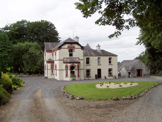 Corbeagh Househouse · 1489 yd
 RuinsCastle, unclassified · 1.2 mi
 Moat & CastleCastle, motte and bailey · 1.3 mi
 Clonfin Ambush MemorialMemorial · 2.1 mi
 Ballinalee Forest WalkForest · 2.4 mi
 Cloonfin WoodForest · 2.8 mi
 Bully's Acregraveyard/cemetery, unknown · 2.8 mi
 Edgeworthstown BypassMemorial · 3.4 mi
 Granard MotteMotte-and-bailey castle remains · 5.5 mi