What is recorded here
Cartron is a 202-acre townland where a vanished castle once stood beside the River Suck. The house disappeared before memory, leaving no ruin for local people to point at. What remains is a map mark and a boundary line drawn across grass that forgot the stones.
A castle is marked on the Strafford / 1837 ed. of the OS 6-inch composite map in NLI at Cartron. Cartron is now a small townland of 202 acres (c. 80 ha), but a castle is not known there locally. This territory is marked Clundaghnon on the Strafford map of c 1636 (Simington 1949, Athlone (351)) and extends from the River Suck on the N side of a small stream. Today it is occupied by the townlands of Cloonlaughen and Cartron. Cartron would be a good estimation of where it was sited but, needless to say, the house or castle was not encountered.
Compiled by: Michael Moore
Date of upload: 24 August 2010
The monument record does not grant public access. Check the route and ask the landowner before entering private land.
- What survives
- Recorded monument
Places near here
 IndicatedFairy fort / earthen ringfort · 1337 yd
 Embanked enclosureFairy fort / earthen ringfort · 1748 yd
 Church in Cloghan,curraghadoonChurch · 1.3 mi
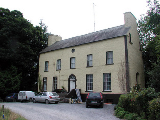 Bushypark Housecountry house · 1.3 mi
 European Crab AppleEuropean Crab Apple · 2.8 mi
 Inchnaveague IslandIslet · 3.3 mi
 Castle KellyCastle, tower house · 3.5 mi
 Site of Ballygar CastleArchaeological place · 3.5 mi
 Aughrane WoodsForest · 3.6 mi
 InchnagowerIslet · 3.9 mi
 Mount MaryMountain / peak · 6.6 mi
 Site of Killomaine Grave YardArchaeological place · 12 mi