What is recorded here
A castle is marked on the Down Survey map of Bishopscourt and kilcarragh parish (1655-6) at Bishopscourt, and it is described in the terrier as the walls of a castle. It remains unlocated, but is thought to have been a summer residence of the Bishiop of Waterford (Power 1906, 33). It remains unlocated.
Power, Rev. P. (1906) The place-names of the Decies WAJ 9, 12-39, 80-106, 154-70, 228-65.
Compiled by: Michael Moore
Date of upload: 08 June 2011
The monument record does not grant public access. Check the route and ask the landowner before entering private land.
- What survives
- Recorded monument
Places near here
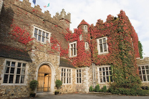 Fulacht fia in BishopscourtFulacht fia · 597 yd
 Kilcaragh Church (in ruins)Church · 1025 yd
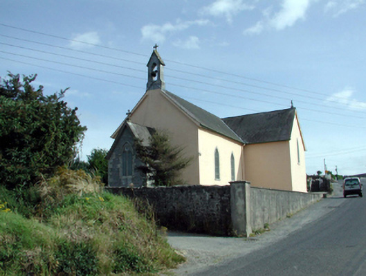 Saint Mary's Catholic Churchchurch/chapel · 1031 yd
 CaveMan-made underground passage · 1487 yd
 Ballinakill WoodsWood · 1.3 mi
 Castle (in ruins)Castle, tower house · 1.6 mi
 Sugar Loaf RockMountain / peak · 4.3 mi
 Cullen Castle (in ruins)Castle, tower house · 5.0 mi
 The Baldy ManViewpoint · 5.1 mi
 Tramore Dunes WalkWalking route · 5.2 mi
 Tramore Tourist OfficeVisitor information · 5.4 mi