What is recorded here
Situated on a hillside sloping to the east, the remains of this fulacht fia were discovered in 2011 in the course of topsoil stripping at the site of a new school. The monument was partially excavated (license number 11E0252; Pollock 2011) and consisted of a pennanular spread of burnt stone (diam. c. 15m and generally less than 0.2m high) around an oval hollow or trough on the downhill side. Two further pits or troughs survived but were not excavated. The remains of the monument were preserved beneath the school car park. One charcoal sample (hazel) was submitted for analysis from fire-shattered stone and black silt, the fill of the shallow oval trough. This returned a C14 determination of 3820 BP +/- 35 (UBA 22725) or 2370-2197 (95.4% - 2 sigma) cal BC which would provide an indicative Early Bronze Age date for this monument (O'Carroll 2013, 11).
Compiled by: Paul Walsh
Date of upload: 23 April 2014
The monument record does not grant public access. Check the route and ask the landowner before entering private land.
- What survives
- Recorded monument
Places near here
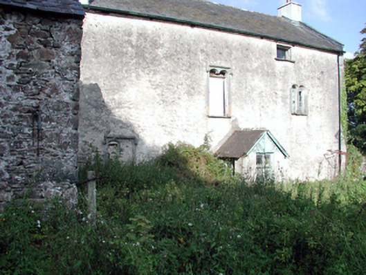 Ballygunner Castlehouse · 790 yd
 CaveMan-made underground passage · 892 yd
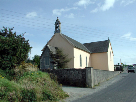 Saint Mary's Catholic Churchchurch/chapel · 898 yd
 Fulacht fia in BallymaclodeFulacht fia · 1619 yd
 Ballinakill WoodsWood · 1.3 mi
 Sugar Loaf RockMountain / peak · 4.6 mi
 The Baldy ManViewpoint · 5.0 mi
 Cullen Castle (in ruins)Castle, tower house · 5.2 mi
 Tramore Dunes WalkWalking route · 5.3 mi
 Tramore StrandBeach / strand · 5.5 mi
 Tramore Tourist OfficeVisitor information · 5.6 mi
Other information
Photo: Credit not shown in the picture search · Rights wording not checked; contact us if this picture should be removed