What is recorded here
Muilean Adam, a MacDermot castle near an Owenmore ford, disappeared so completely that even its exact bank is forgotten. Mac William Burke attacked it in 1463, but the river and time erased it far more thoroughly than any army. A house still appears on the 1655-6 Down Survey map in Bearvaish, perhaps marking the last shadow of that lost stronghold.
A house is indicated on the Down Survey (1655-6) barony map in the middle of the townland and E of the Owenmore River. Its exact location is not known. It may be the castle of Muilean Adam which was 'situated somewhere near a ford on the Owenmore at Rathmullen or Ballyneglough, but has...long since disappeared from the countryside' (MacDonagh 1936, 77). This castle of the MacDermot family, was attacked in 1463 by Mac William Burke (ibid.).
The above description is derived from the published 'Archaeological Inventory of County Sligo' compiled by Ursula Egan, Elizabeth Byrne, Mary Sleeman with Sheila Ronan and Connie Murphy (Dublin Stationery Office, 2005).
Date of upload: 18 January 2008
The monument record does not grant public access. Check the route and ask the landowner before entering private land.
- What survives
- Recorded monument
Places near here
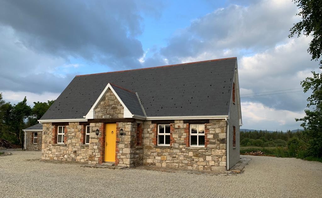 Hut site in BearvaishHut site · 238 yd
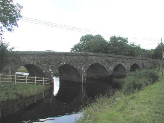 Big Bridgebridge · 844 yd
 Tober BrideHoly well · 1323 yd
 Bridge in Bellanalack,knockgrania (corran By., Kilturra Ed),knocknageeha (corran By.),rathbaun NorthBridge · 1399 yd
 Ballymote CastleCastle · 2.4 mi
 Brother WalfridMemorial · 2.5 mi
 Caves of KeshCave · 2.5 mi
 Ballyfahy Castle (in Ruins)Castle, unclassified · 2.7 mi
 Kesh CorannMountain / peak · 3.0 mi
 School CaveCave · 3.4 mi
 Tymon's HillMountain / peak · 3.8 mi
 Treanscrabbagh caveCave · 4.9 mi