
What is recorded here
In pasture, at the base of a gradual NW-facing slope. A spring well appears to be located within an area (c. 3m NW-SE; c. 4m NE-SW) of grass-covered waterlogged ground bordered to SW by a low bedrock facade (L c. 2m; H 1m). There is no evidence of recent veneration at this well. In 1942-4 it was recorded that no pilgrimages had been made to it in the memory of the oldest inhabitants (ITA). In 1836 it was recorded that the well was known as 'Tobar na Naomh by the inhabitants of the surrounding townland' but in Abbeyville it was known as 'St. Bridget's well or Tobar Naomh Bríghde' (OSL, 148). It was also noted in 1836 that while there were no 'stations' then held at the well, they had been held there at one time (OSNB vol. 1, 351).
The above description is derived from the published 'Archaeological Inventory of County Sligo' compiled by Ursula Egan, Elizabeth Byrne, Mary Sleeman with Sheila Ronan and Connie Murphy (Dublin Stationery Office, 2005).
Date of upload: 18 January 2008
Tober Bride is traditionally associated with St Bride (Brigid), a widely venerated Irish saint linked to fertility, healing, and poetry. Holy wells dedicated to St Bride often feature rituals involving water for curing ailments, particularly those of the eyes and breasts, and were historically visited on her feast day, February 1st.
The monument record does not grant public access. Check the route and ask the landowner before entering private land.
- What survives
- Recorded monument
Places near here
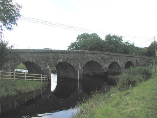 Big Bridgebridge · 1041 yd
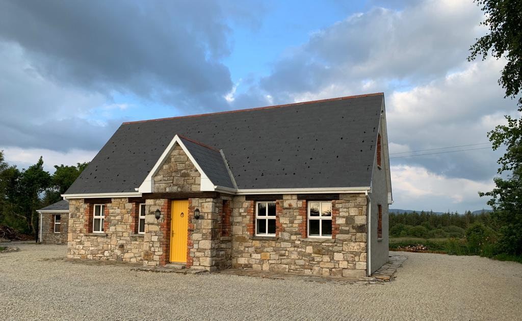 Hut site in BearvaishHut site · 1557 yd
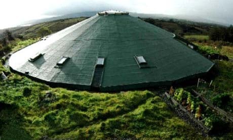 Enclosure in MullaghcorEnclosure · 1694 yd
 Emlaghfad Church (in Ruins)Church · 1.3 mi
 Caves of KeshCave · 1.8 mi
 Ballymote CastleCastle · 2.2 mi
 Brother WalfridMemorial · 2.3 mi
 Kesh CorannMountain / peak · 2.3 mi
 School CaveCave · 2.7 mi
 RathdoonyCastle, motte · 3.3 mi
 Treanscrabbagh caveCave · 4.2 mi
 Tymon's HillMountain / peak · 4.5 mi
Other information
Photo: Credit not shown in the picture search · Rights wording not checked; contact us if this picture should be removed