What is recorded here
Mentioned once in an 18th-century document as Bally-Mac-Rowan, the castle has no known walls, plan or even exact place. It may have stood beside a road now renamed, sunk under drainage works, or simply been called a castle because power lived there. Whatever disappeared, the name preserved the shape of the loss.
An 18th-century document mentions the castle of 'Bally-Mac-Rowan' (Healy 1988, 168). Its exact location is not known.
The above description is derived from 'The Archaeological Inventory of County Cork. Volume 5' (Dublin: Stationery Office, 2009).
Date of upload: 22 December 2009
The monument record does not grant public access. Check the route and ask the landowner before entering private land.
- What survives
- Recorded monument
Places near here
 Kill Burial Gd (Childrens)Burial ground · 549 yd
 IndicatedEnclosure · 1057 yd
 Castle (in Ruins)Castle, unclassified · 1534 yd
 Rathmore Bridgebridge · 1660 yd
 Bawn in BallylinchyBawn · 1.1 mi
 Church in Kedge IslandChurch · 1.1 mi
 Walk 5 - Lough Hyne (7km)Walking route · 1.3 mi
 Kedge IslandIslet · 1.6 mi
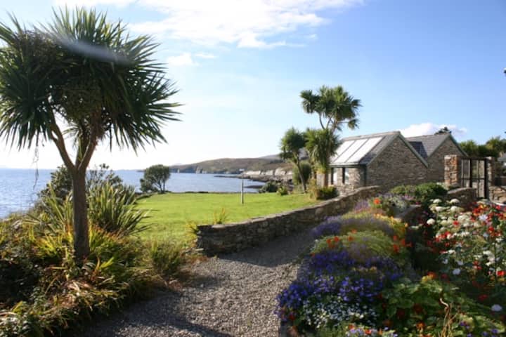 Reenmore IslandIslet · 1.6 mi
 KnockomaghMountain / peak · 1.8 mi
 Wave Chieftain Whale WatchingHeritage attraction · 1.9 mi
 Wild Atlantic Way:Lough HyneVisitor information · 1.9 mi