
What is recorded here
Depicted as a circular enclosure with the designation 'Fort' on OS 1836 ed. of the OS 6-inch map. A rectangular structure aligned NW-SE is shown within the W portion of the enclosed area. The site comprises a large, oval-shaped, natural earthen mound with scarped sides and flattened summit (dims of summit c. 39.5m NE-SW; c. 28m NW-SW). In the SW quadrant there is a low, narrow, stone-built circular tower standing on a larger rounded stone structure which appears to be a folly probably of late 18th or early 19th-century construction. The monument is densely overgrown with vegetation rendering inspection difficult. Davies (1947a, 86) described this as a 14th or 15th-century castle 'of keep and bawn type'. However there is no documentary or archaeological evidence to validate this claim.
The above description is derived from the published 'Archaeological Inventory of County Cavan' (Dublin: Stationery Office, 1995). In certain instances the entries have been revised and updated in the light of recent research.
Date of upload/revision: 22 December 2008
A local castle; wider significance not recorded.
The monument record does not grant public access. Check the route and ask the landowner before entering private land.
- What survives
- Recorded monument
Places near here
 Mass-rock in Dungummin LowerMass-rock · 180 yd
 IndicatedFairy fort / earthen ringfort · 1692 yd
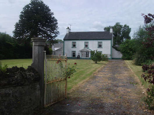 Lisnabrin Housefarm house · 1.6 mi
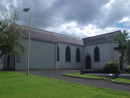 St Brigid's Roman Catholic Churchchurch/chapel · 1.7 mi
 Bob's GroveForest · 1.7 mi
 Fennor LowerMountain / peak · 2.4 mi
 Wall IslandIslet · 2.7 mi
 Stony IslandIslet · 2.8 mi
 Ross CastleCastle, tower house · 2.9 mi
 Fennor RockMountain / peak · 3.3 mi
 Memorial CrossMemorial · 3.4 mi
 Ross BayBay · 3.5 mi
Other information
Photo: Credit not shown in the picture search · Rights wording not checked; contact us if this picture should be removed