
What is recorded here
Situated on flat ground on the flood-plain of the Clodagh River, at the edge of a bog which lies to the W. An oval, grass-covered site (45m N-S; 40m E-W) enclosed by a bank (Wth 3m; int. H 0.75m; ext. H 0.51m) with no outer fosse visible. The E side is incorporated into a hedgerow and the bank is reduced to a scarp. The bank is best preserved at N while the W and S sectors has been levelled. An outer irregular bailey-type enclosure all around the site is defined by a scarp 0.8m high. It is widest from S through W to N (c. 45m) while it is only 8m wide on its E side. A hedgerow along the line of the scarp in the SW quadrant has been levelled. Possible parallel site at Harsemead, Co. Wexford (Moore 1996, 62).
The above description is derived from 'The Archaeological Inventory of County Tipperary. Vol. 1 - North Tipperary' compiled by Jean Farrelly and Caimin O'Brien (Dublin: Stationery Office, 2002). In certain instances the entries have been revised and updated in the light of recent research.
Date of upload/revision: 22 September 2008
A local castle; wider significance not recorded.
The monument record does not grant public access. Check the route and ask the landowner before entering private land.
- What survives
- Recorded monument
Places near here
 Coolkill Church (site of)Church · 660 yd
 Enclosure in Coolkill (moyaliff Par.)Enclosure · 680 yd
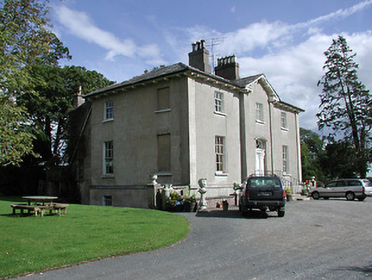 Crossoge Housecountry house · 1621 yd
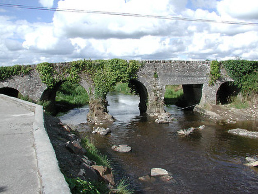 Ballyoughter Bridgebridge · 1736 yd
 MoatCastle, motte · 1.5 mi
 KnockaneMountain / peak · 1.7 mi
 Drumbane CastleCastle · 1.8 mi
 Pallas HillMountain / peak · 2.1 mi
 Cormackstown Heritage CentreMuseum · 2.7 mi
 Drum WoodWood · 3.9 mi
 European ashEuropean ash · 4.9 mi
 Enclosure in RoskeenEnclosure · 714 yd
Other information
Photo: Credit not shown in the picture search · Rights wording not checked; contact us if this picture should be removed