What is recorded here
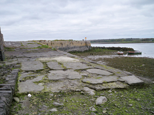
Castle Pier in Oran More has iron mooring rings tucked into square recesses: a very earnest proposal to the sea. The sea comes back twice a day but still insists on seeing other piers.
Rectangular-plan quay wall, built c.1780. Snecked squared limestone walls to lower level, coursed squared limestone walls to upper level, with batter. Integral steps to north elevation. Cast-iron mooring rings set in square recesses to north elevation. Boat slip to north with battered rubble stone walls and cut-stone copings giving access to water.
This stone built pier is a reminder of the engineering achievements which enabled the economic development of the local community. The well cut stone of the pier contrasts pleasingly with the rubble stone of the boat slip.
From the Buildings of Ireland (National Inventory of Architectural Heritage) record 30409504
This does not grant access. Most recorded buildings are privately owned; view them only from public ground unless the owner allows entry.
Places near here
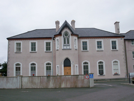 Árd na MaraConvent/nunnery · 265 yd
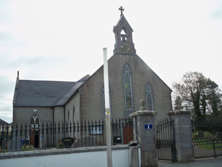 Oranmore LibraryChurch/chapel · 455 yd
 CastleCastle, tower house · 1.7 mi
 Round Tower2.1 mi
 Leadmine HillMountain / peak · 2.3 mi
 Merlin CastleCastle, tower house · 2.7 mi
 Rabbit IslandIslet · 3.1 mi
 Ballyloughane BeachBeach / strand · 3.5 mi
 InishcorraIslet · 4.5 mi
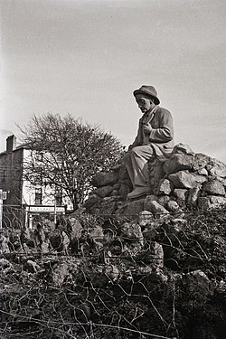 Padraic O'Conaire StatueMonument · 4.7 mi
 Browne DoorwayVisitor information · 4.7 mi
 Mechanics InstituteMemorial · 4.8 mi
Pictures: National Inventory of Architectural Heritage; Mike Searle, Wikimedia Commons · CC BY-SA 2.0; Rryswny, Wikimedia Commons · CC BY-SA 4.0; Joseph McGinley, Geograph · CC BY-SA 2.0; dougf, Wikimedia Commons · CC BY-SA 2.0; Gareth James, Geograph · CC BY-SA 2.0; Ian Capper, Wikimedia Commons · CC BY-SA 2.0; Donal Mac Coitir, Wikimedia Commons · CC BY 4.0; N Chadwick, Geograph · CC BY-SA 2.0; A.-K. D., Wikimedia Commons · CC BY-SA 4.0
More historic places in County Galway · All of County Galway
What do you know about this place?