
What is recorded here
Screeboge Castle is a twenty-metre earthen mound on a Longford ridge, topped by a square hole where wall footings still mark a forgotten chamber. Whether that chamber held a defensive keep or a pleasant summer gazebo for Richmount Hill, the distinction barely matters once the grass returns. Stone steps ghost along the west face while cattle graze the eastern slope, turning military history into domestic landscape. The mound remains visible because people kept shaping it long after its original purpose faded from memory.
On the E edge of a N-S ridge in pastureland with good views in all directions. A circular steep-sided mound of earth and stone (H 1.3 2.6m; diam. at base c. 20m). On the summit (diam. 9m) a square-shaped depression (N-S 4m; E-W 4m; D 0.2-0.3m), enclosed by wall-footings, is evident. It may be the remains of a building that is depicted on the 1837 ed. of the OS 6 inch map or the remains a stone castle, or possibly a gazebo or summer house associated with the Richmount Hill house, c. 60m to the SW. Traces of possible stone steps are visible on the W face of the motte and there is evidence of stone facing or revetting on the E and W faces. These features may be associated with subsequent landscaping. A report in 1976 (SMR file) noted an irregular platform to the S that might be the remains of a bailey. The platform, which is defined by a low barely visible earthen bank, may be also be associated with landscaping.
Compiled by: Patrick F. O'Donovan
Date of upload: 28 March 2012
The monument record does not grant public access. Check the route and ask the landowner before entering private land.
- What survives
- Recorded monument
Places near here
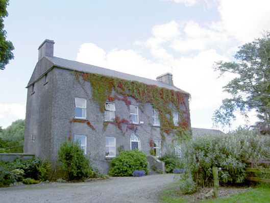 Richmount Hillhouse · 82 yd
 Enclosure in BallybegEnclosure · 304 yd
 IndicatedFairy fort / earthen ringfort · 985 yd
 Church (in Ruins)Church · 1.4 mi
 DoonphilipCastle, motte · 1.7 mi
 Not locatedCastle, unclassified · 1.8 mi
 European BeechEuropean Beech · 2.7 mi
 National Famine WayWalking route · 3.4 mi
 Common LimeCommon Lime · 3.6 mi
 Abbeyshrule AbbeyRuins · 3.7 mi
 Goldsmith Birthplace, PallasVisitor information · 4.1 mi
 Newcastle WoodsForest · 4.3 mi
Other information
Photo: Credit not shown in the picture search · Rights wording not checked; contact us if this picture should be removed