
What is recorded here
Castle, motte in Portnashangan is a 17 to 24m oval earthwork beside Portnashangan church ruins, not a ordinary ringfort. It stands on a low rise above Lough Owel, with a stream still passing its east base and a narrow gap in the north scarp marking its entrance. The mound rises inward like a buried chamber waiting to be remembered, while scrub holds its edges against the sky.
Situated on a low rise in grassland overlooking Lough Owel 150m to SW. Portnashangan church ruins (WM012-086----) and burial ground (WM012-086001-) 60m to ENE. Depicted on the 1837 OS Fair Plan map as an oval shaped earthwork annotated ‘fort’ with spring well just outside the earthwork to the ENE. On this map a drain or stream flowing into Lough Owel is depicted running past the base of the earthwork on E side. This watercourse can still be seen today. Present remains consist of a raised oval shaped mound (approx. diam. 17m NW-SW; 24m NE-SW) now covered in scrub vegetation defined by a scarp. The interior rises towards the centre. A depression in the scarp (Wth 1.8m) at N may represent the original entrance. Profile of monument suggest a burial mound or motte associated with Portnashangan church rather than that of a ringfort.
See attached profile of monument surveyed and drawn by the ASI.
Compiled by: Frank Coyne and Caimin O'Brien
Date of upload: 19 February 2018
The monument record does not grant public access. Check the route and ask the landowner before entering private land.
- What survives
- Recorded monument
Places near here
 ‘Abbey’Church · 124 yd
 IndicatedFairy fort / earthen ringfort · 420 yd
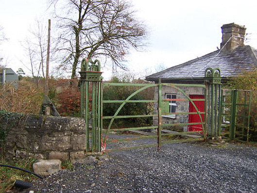 Ardilaun Houselevel crossing, gates/railings/walls · 594 yd
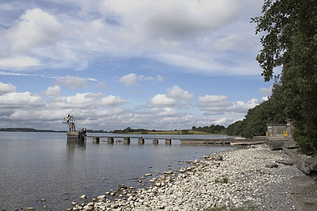 OutlinedFairy fort / earthen ringfort · 960 yd
 Scragh Bog Nature ReserveNature reserve · 1.1 mi
 Church IslandIsland · 1.4 mi
 Carrickphilbin IslandIslet · 1.6 mi
 Nugent's CastleCastle · 1.8 mi
 Lady's IslandWood · 1.9 mi
 TullaghanCastle, tower house · 2.4 mi
 Bridge Memorial (Kenna)Memorial · 2.8 mi
 Saint Brigid's WellSpring · 2.9 mi
Other information
Photo: Credit not shown in the picture search · Rights wording not checked; contact us if this picture should be removed