
What is recorded here
Castle rises three metres above undulating Sligo grassland, its oval summit guarded by a mossy stony bank and a shallow fosse. O'Donnell may have seized it during his 1516 raids, though that remains a possibility rather than a certainty. Blackthorn and bramble still choke the summit, waiting for someone to remember why the mound was built.
In undulating grassland, prominently sited at the top of a steep SSE-facing slope. A conical earthen mound (H c. 3m) with a flat oval summit (27m E-W; 22.5m N-S) is enclosed along its rim by a moss-covered stony bank (Wth 2m; int. H 0.55m). Externally the stony bank merges with the steep sloping side of the mound. The base of the mound is enclosed by a shallow and indistinct fosse (Wth c. 3-4m) except WSW-W where it is steep-sided (D 0.7m; Wth 4.3m). Ash trees, hawthorn, blackthorn and brambles grow around the perimeter of the mound and blackthorn bushes and clumps of brambles dot the summit. At ENE is a gentle ramp-like slope on the mound's side, corresponding with a gap in the bank (Wth 2.3m) at the summit. According to Milligan (1890-91, 577), this may be one of the castles captured by O'Donnell in 1516 during one of his raids. Killross parish church (SL021-056001-) lies 700m to the ENE.
The above description is derived from the published 'Archaeological Inventory of County Sligo' compiled by Ursula Egan, Elizabeth Byrne, Mary Sleeman with Sheila Ronan and Connie Murphy (Dublin Stationery Office, 2005).
Date of upload: 18 January 2008
The monument record does not grant public access. Check the route and ask the landowner before entering private land.
- What survives
- Recorded monument
Places near here
 Cross in KilrossCross · 627 yd
 Sweathouse in KilrossSweathouse · 676 yd
 Giants GraveArchaeological place · 732 yd
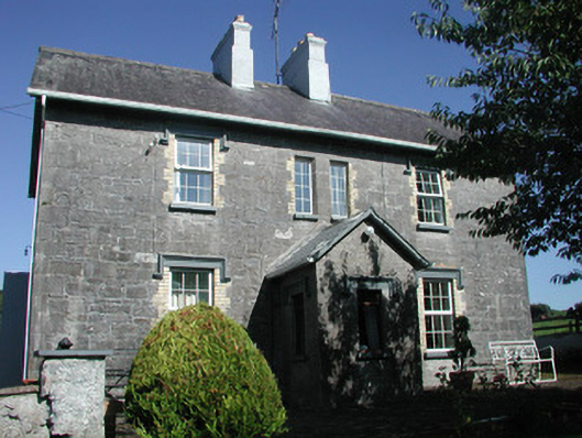 Doonamurray Househouse · 1090 yd
 Castle (in Ruins)Castle, tower house · 1130 yd
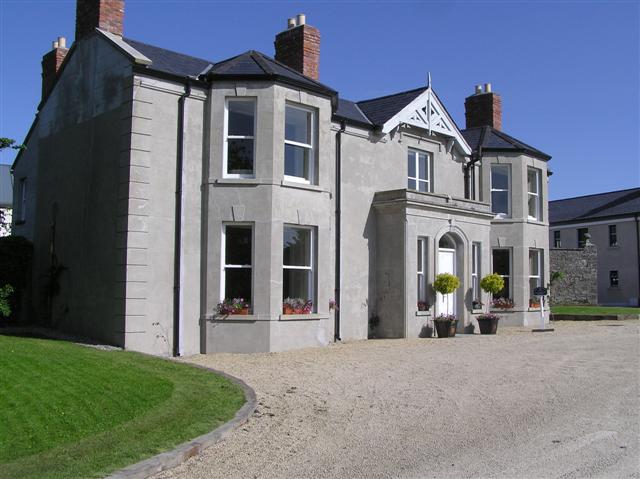 Castle Darganhouse · 1221 yd
 Drumcondra Castle (in Ruins)Castle, tower house · 1.4 mi
 Field MapleField Maple · 1.8 mi
 European ashEuropean ash · 2.1 mi
 Battle of Collooneybattle · 2.8 mi
 Teeling MonumentMemorial · 2.8 mi
 Glynn IslandIslet · 3.3 mi
Other information
Photo: Credit not shown in the picture search · Rights wording not checked; contact us if this picture should be removed