What is recorded here
Castle, motte and bailey in Rathlihen stands on a slight rise in County Offaly, its conical mound reaching four to five metres high beside a medieval church and ruined tower house. The western bailey stretches thirty by thirty-five metres, marked only by a faint scarp, while the motte top holds a hollow depression where topsoil has vanished from the south side. Someone lived there, loved there, raged there, bled there, played there, starved there, danced there, wept there, laughed there, feared there, hoped there, raved there, dreamed there, worshipped there, raved there, longed there, ached there, hungered there, thirsted there, raved there, longed there, ached there, hungered there, thirsted there, raved there, longed there, ached there, hungered there, thirsted there
Located on a slight rise in undulating countryside with a medieval church (OF024-036----) to the N and poorly preserved tower house (OF024-036002-) to the E. Roughly circular conical shaped mound (max. diam 30m at base; c. 10m top diam ; H 4 - 5m) with remains of an enclosing fosse (max. Wth 3m) and outer bank except at W where there is a raised rectangular area (30m N-S by 35m E-W) defined by a poorly preserved scarp, probable bailey area. There is a hollow depression on the top of the motte and the top soil has been removed from the S side of the motte. (Cooke 1875, 230; O' Flanagan 1933, vol. 2, 47-8; Shaw 1971, 7-10)
The above description is derived from the published 'Archaeological Inventory of County Offaly' (Dublin: Stationery Office, 1997). In certain instances the entries have been revised and updated in the light of recent research.
Date of upload: 23 May 2011
This monument is subject to a preservation order made under the National Monuments Acts 1930 to 2014 (PO no. 3/1986).
This remains an important historical record, but the official description says the monument is no longer visible or has been destroyed. The monument record does not grant public access. Check the route and ask the landowner before entering private land.
- What survives
- No visible remains or recorded as destroyed
Places near here
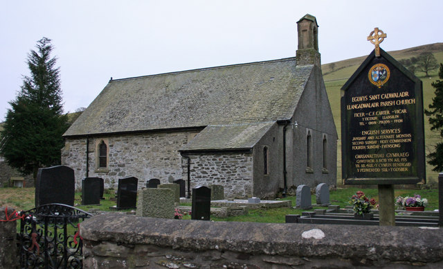 Rathlihen church (in Ruins), Grave YardChurch · 60 yd
 Rathlihen Castle (ruins)Castle · 136 yd
 BarrowBarrow, ring-barrow · 179 yd
 Fulacht fia in RathlihenFulacht fia · 290 yd
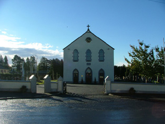 Saint Brigid's Catholic Churchchurch/chapel · 1534 yd
 Lowerton HillMountain / peak · 1664 yd
 Killooley CastleCastle · 1.0 mi
 Troy's Island or DerryheeraghMountain / peak · 2.1 mi
 Graveyard in PallasGraveyard · 2.4 mi
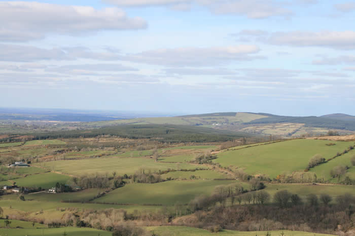 The Offaly WayWalking route · 2.5 mi
 Graveyard in Ballyboy (ballyboy By.)Graveyard · 2.7 mi
 Knockhill GroveWood · 3.1 mi